Hiking to Barbara’s Lake in Laguna Coast Wilderness Park

Orange County has several lakes that serve as reservoirs, but Barbara’s Lake is its only natural lake. It sits within Laguna Coast Wilderness Park, where a short network of trails makes it easily accessible to hikers and wildlife.
We first hiked here in 2015, shortly after moving to California. We followed the trails expecting to find a lake, but all we saw was dry earth. We wandered around wondering how we had missed an entire body of water.
The problem was not our navigation. California was deep in a prolonged drought, and Barbara’s Lake had dried up.
After the wet winter of late 2016 and early 2017, we knew it was time to return. Rain had brought the lake back, and we wanted to see how much the surrounding landscape had changed.
Hiking Through the James Dilley Preserve
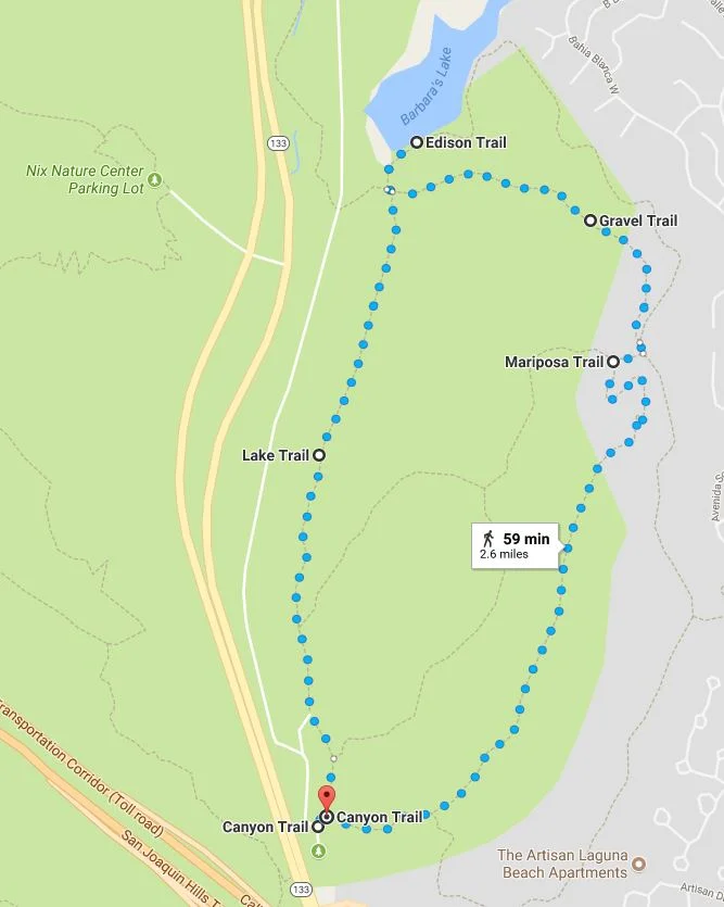
We began at the James Dilley Preserve staging area. Parking was $3, and the lot was open from 8 a.m. to 5 p.m. After signing in at the trailhead, we started along Canyon Trail.
Canyon Trail was narrow, with a few steeper sections that gave this otherwise approachable hike a little more effort. When we reached the connecting trails, we continued onto Gravel Trail.
As its name suggested, Gravel was a wider trail with a loose, rocky surface. Tall walls of cactus and greenery rose along one side, while the other opened to views across the preserve.
At the junction with Edison and Lake trails, we turned right onto Edison Trail and followed it toward Barbara’s Lake.


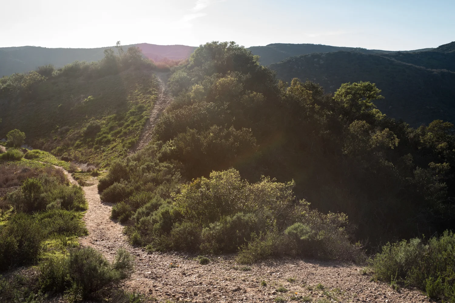
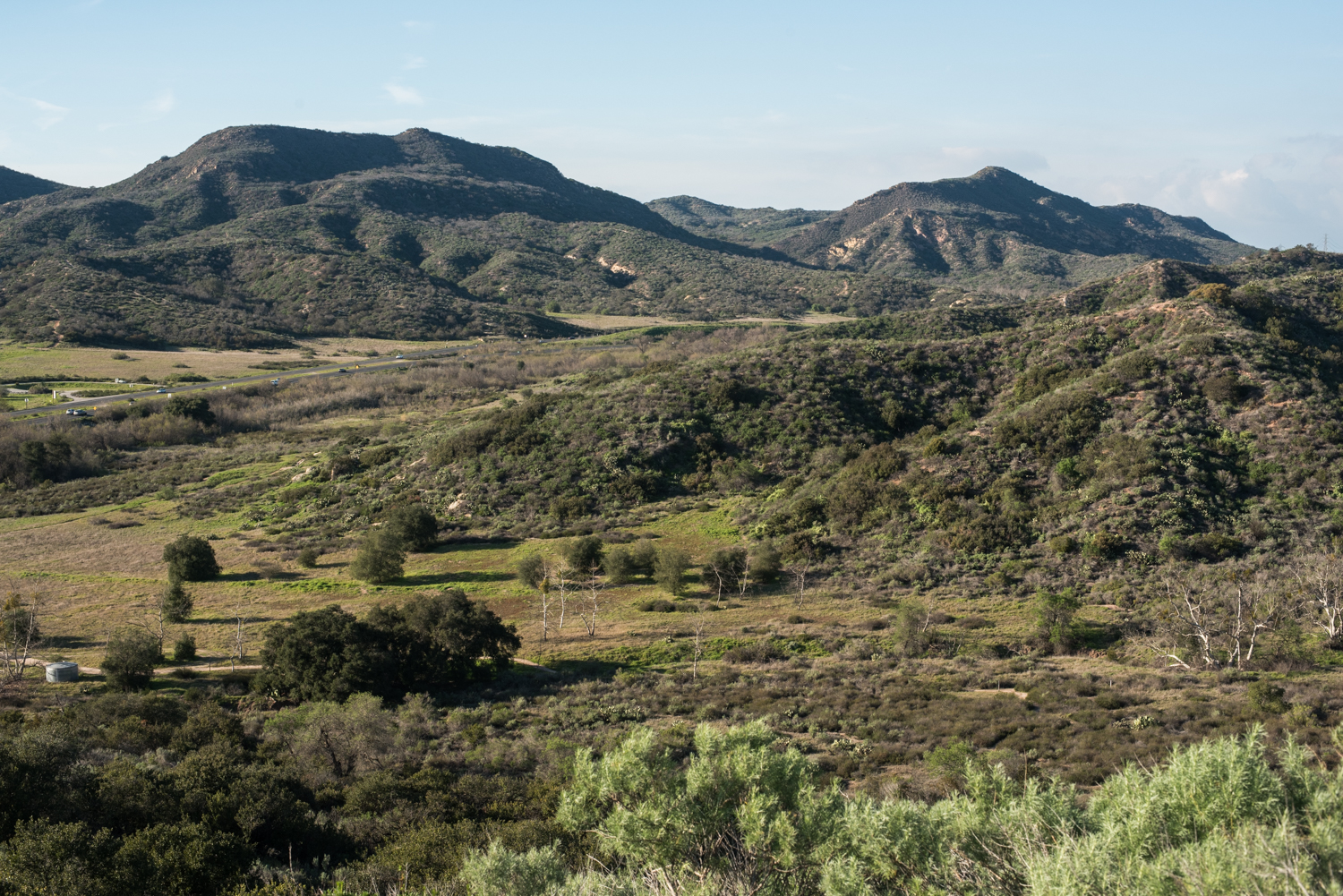

The trails crossed familiar Laguna Canyon terrain, with dirt paths winding among coastal sage scrub, cactus, and low hills. It would have been easy to hurry through while looking ahead to the lake, but there was plenty to notice along the way. Cactus flowers added bright patches of color, lizards darted across the trail, and small movements and sounds came from within the dense brush.


Seeing Barbara’s Lake Full Again
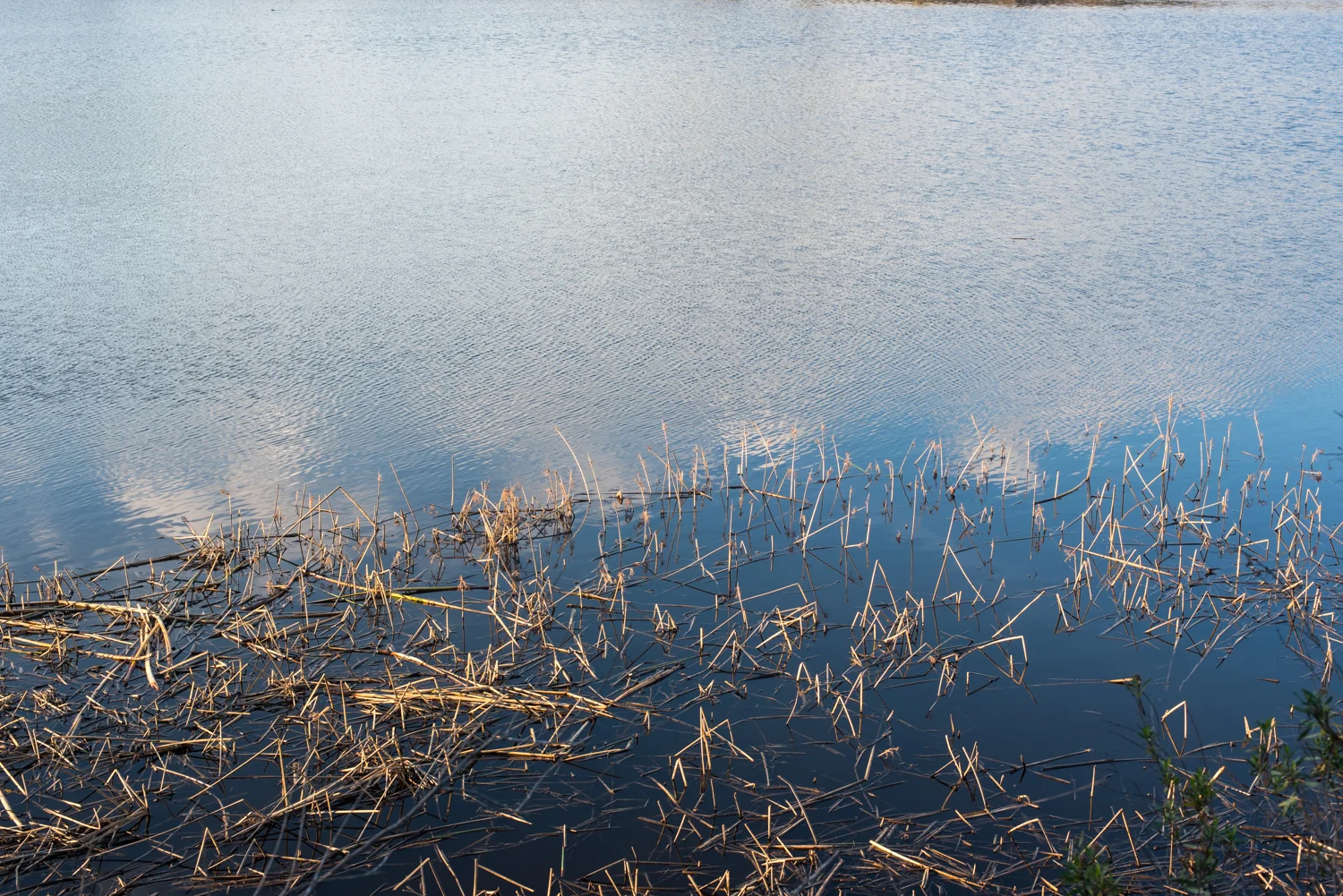
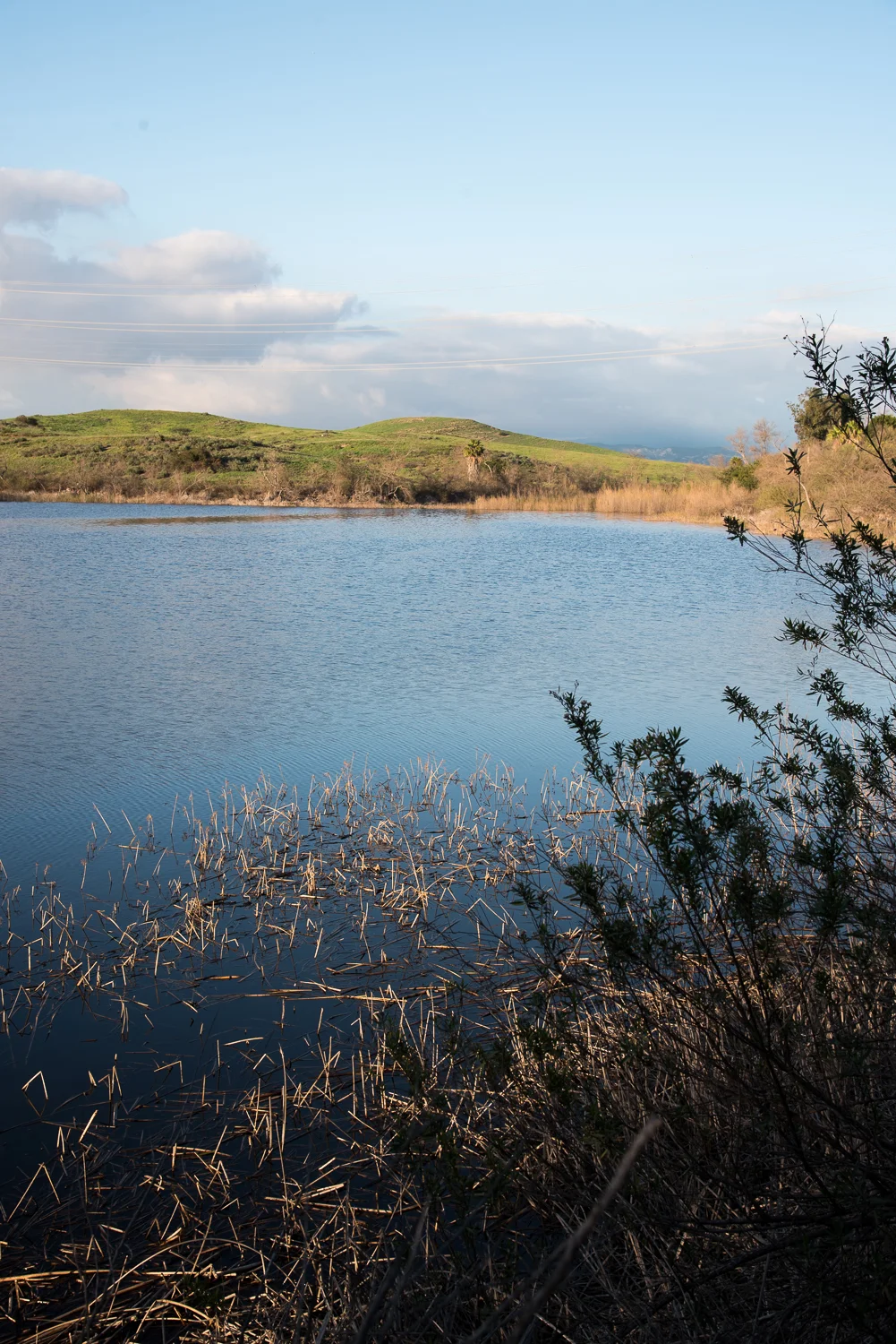
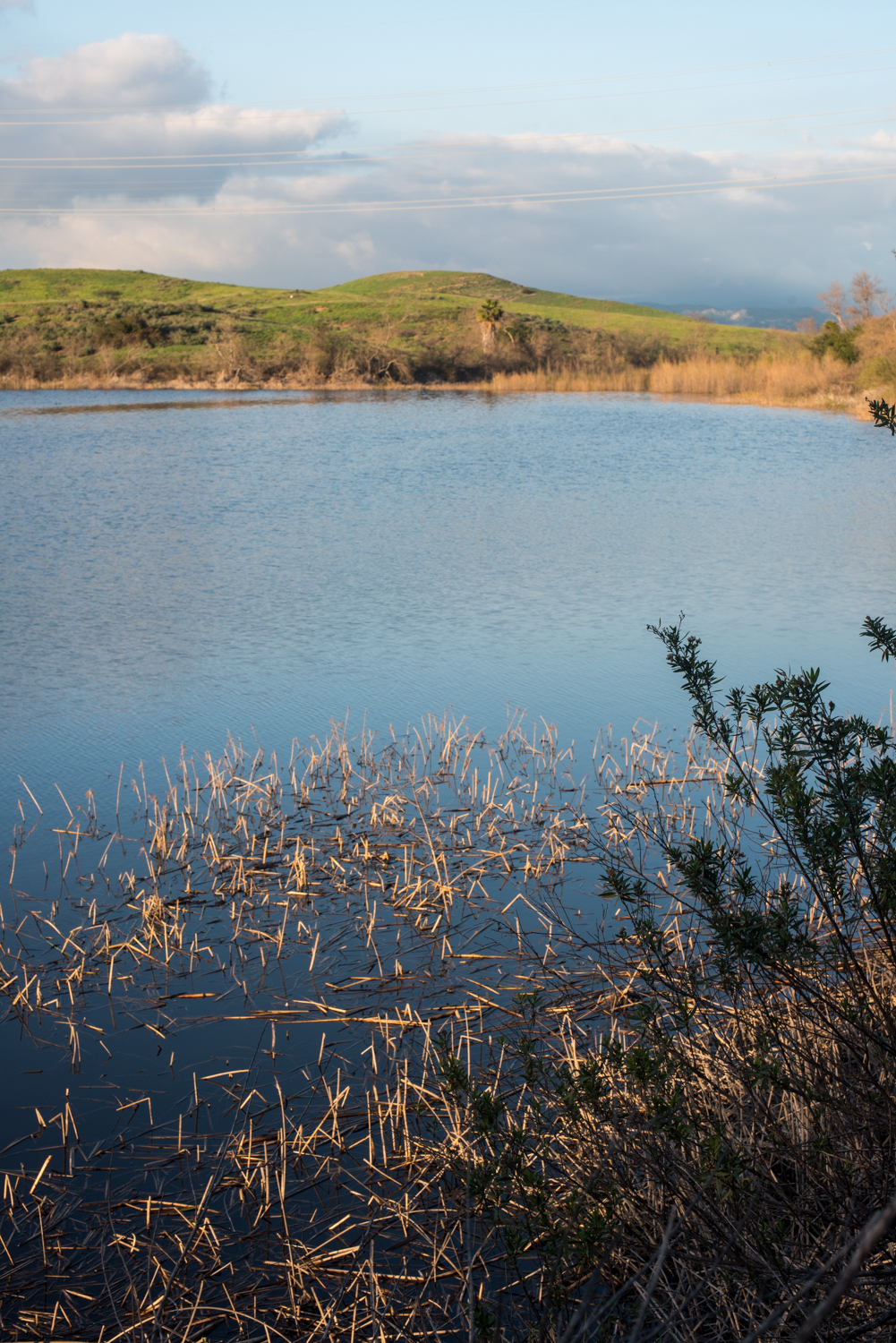
The lake was almost entirely full during our visit. Ducks moved across the blue water while thick green vegetation surrounded the shoreline.
The difference from our first hike was startling. Only a few years earlier, the preserve had been mostly brown, with dry plants and bare ground stretching across the basin where we expected to find water. This time, green growth covered the hillsides and the lake rested in the middle of it all.
We had walked through the same landscape before, but it felt like an entirely different place. The ducks seemed perfectly content with the lake’s return, paddling across the open water on a quiet Southern California afternoon. After years of drought, it was good to see water filling the basin and supporting the plants and animals that depended on it.



Returning to the Trailhead
To return to the parking area, we backtracked along Edison Trail and continued as it became Lake Trail. That brought us directly back to the James Dilley staging area. Google Maps measured our route at 2.9 miles, while our tracker recorded 3.2 miles. We do tend to wander, especially when there are photographs to make and wildlife to watch.
For a shorter and easier version of the hike, Lake Trail provides a more direct route from the parking area to Barbara’s Lake and back. Following Canyon and Gravel trails, as we did, adds a little distance and variety. Edison Trail can also be used to extend the route for anyone wanting a longer walk.


Returning after the rain gave us the version of Barbara’s Lake we had expected to find in 2015. Water filled the basin, ducks drifted across its surface, and fresh green growth pressed close to the trails. Having first seen the lakebed completely dry made every bit of water feel more remarkable.