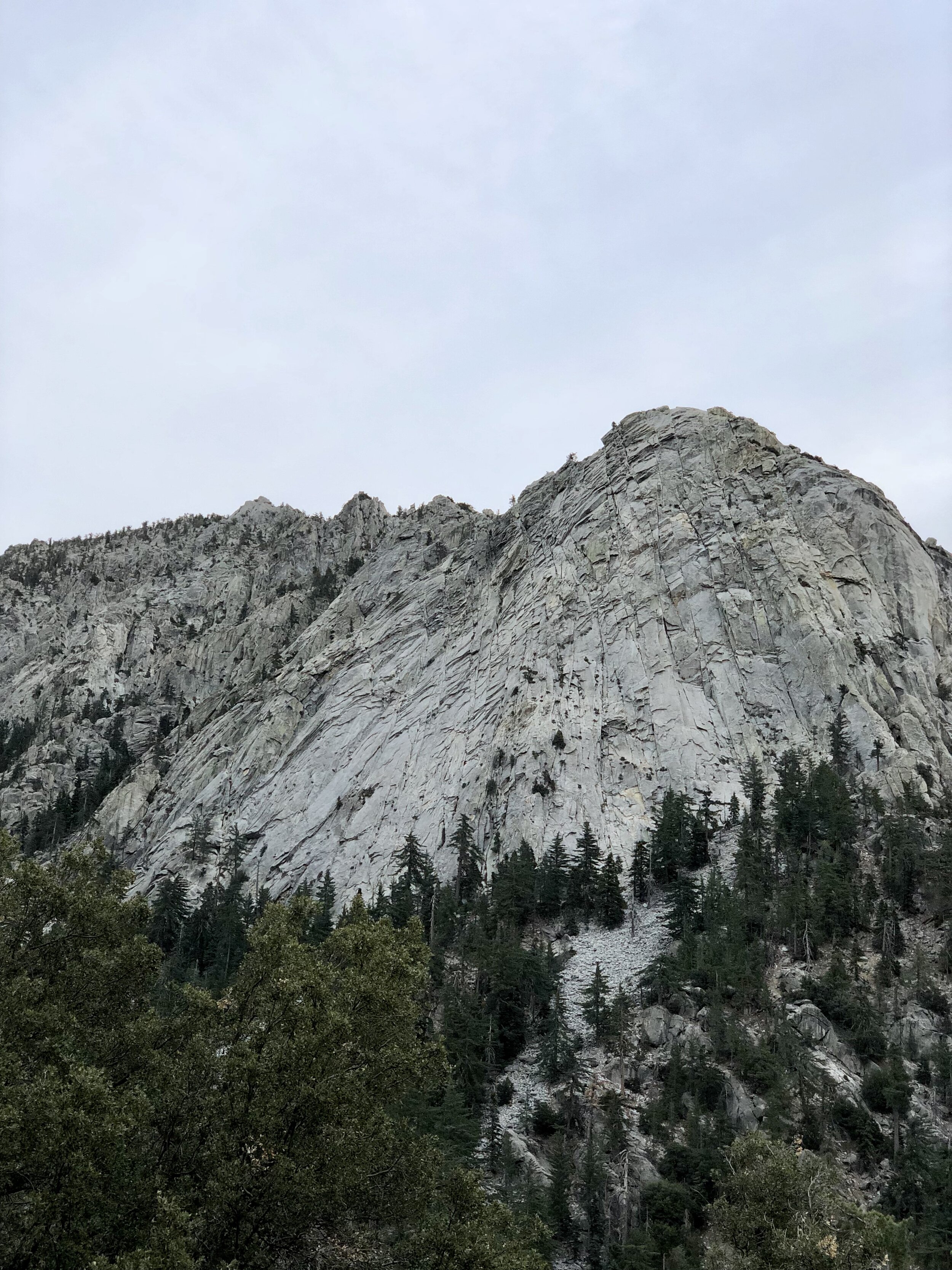

If you have spent any time in Idyllwild, you have probably noticed Tahquitz Rock, also known as Lily Rock. The massive granite formation rises above town and is one of Southern California’s best-known rock-climbing destinations. Behind it, Tahquitz Peak reaches 8,846 feet and offers a challenging hike through the San Jacinto Wilderness to a historic fire lookout.
We started at Humber Park and followed Devil’s Slide Trail to Saddle Junction before continuing toward Tahquitz Peak. This route climbs steadily through the forest, crosses a section of the Pacific Crest Trail, and ends with wide views across the surrounding mountains and desert.
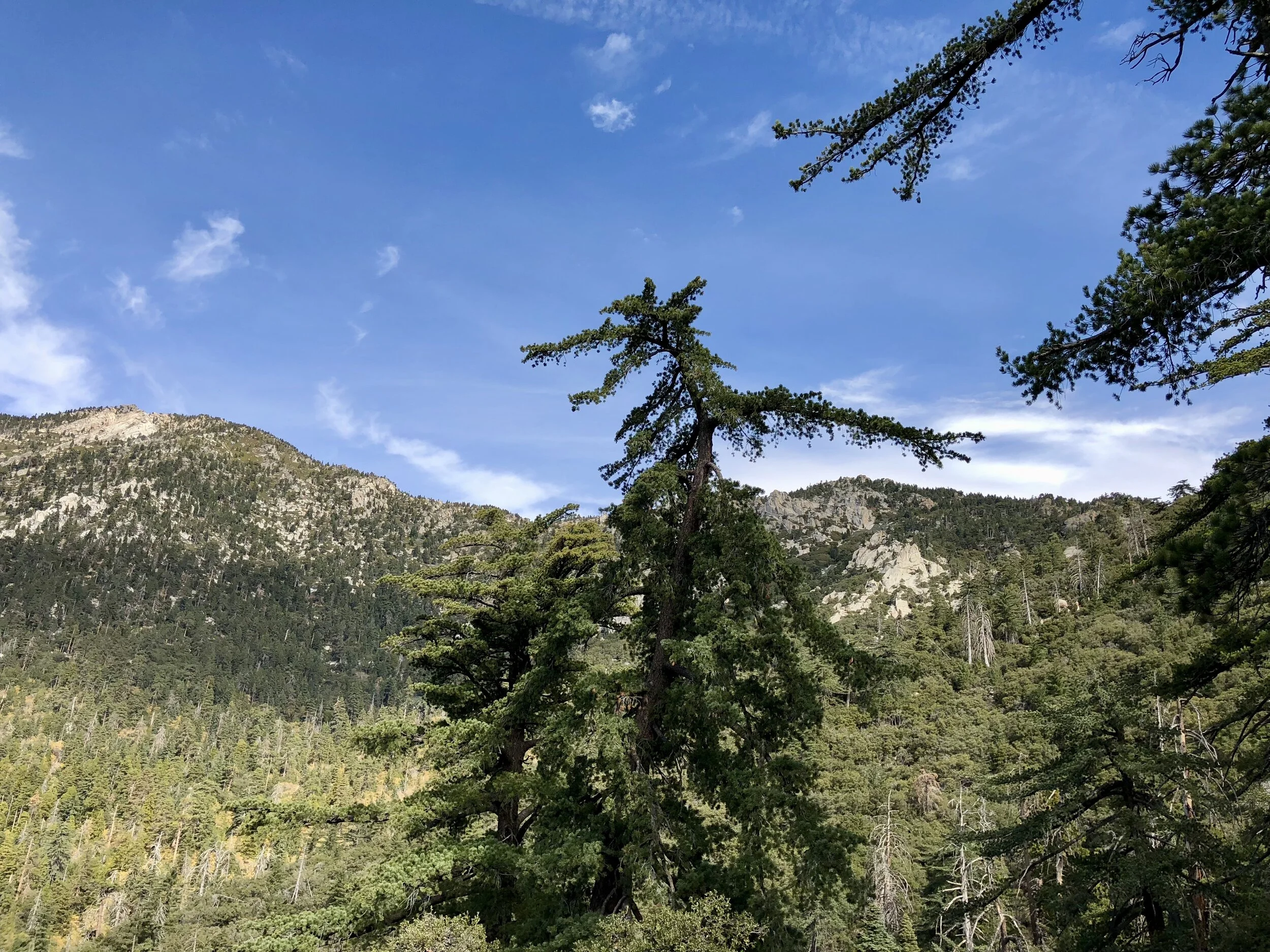
Tahquitz Peak Hike Details
Distance: Approximately 8.5 miles round trip
Elevation gain: Approximately 2,350 feet
Highest elevation: 8,846 feet
Route: Devil’s Slide Trail to Saddle Junction, Pacific Crest Trail to Chinquapin Flat, then Tahquitz Peak Trail to the lookout
Trailhead: Humber Park in Idyllwild
A wilderness day-use permit is required for Devil’s Slide Trail. Parking at Humber Park requires an Adventure Pass or an accepted Interagency Pass. Summer weekend permits may be limited, so check the current requirements and arrange your permit before arriving at the trailhead.


Climbing Devil’s Slide Trail
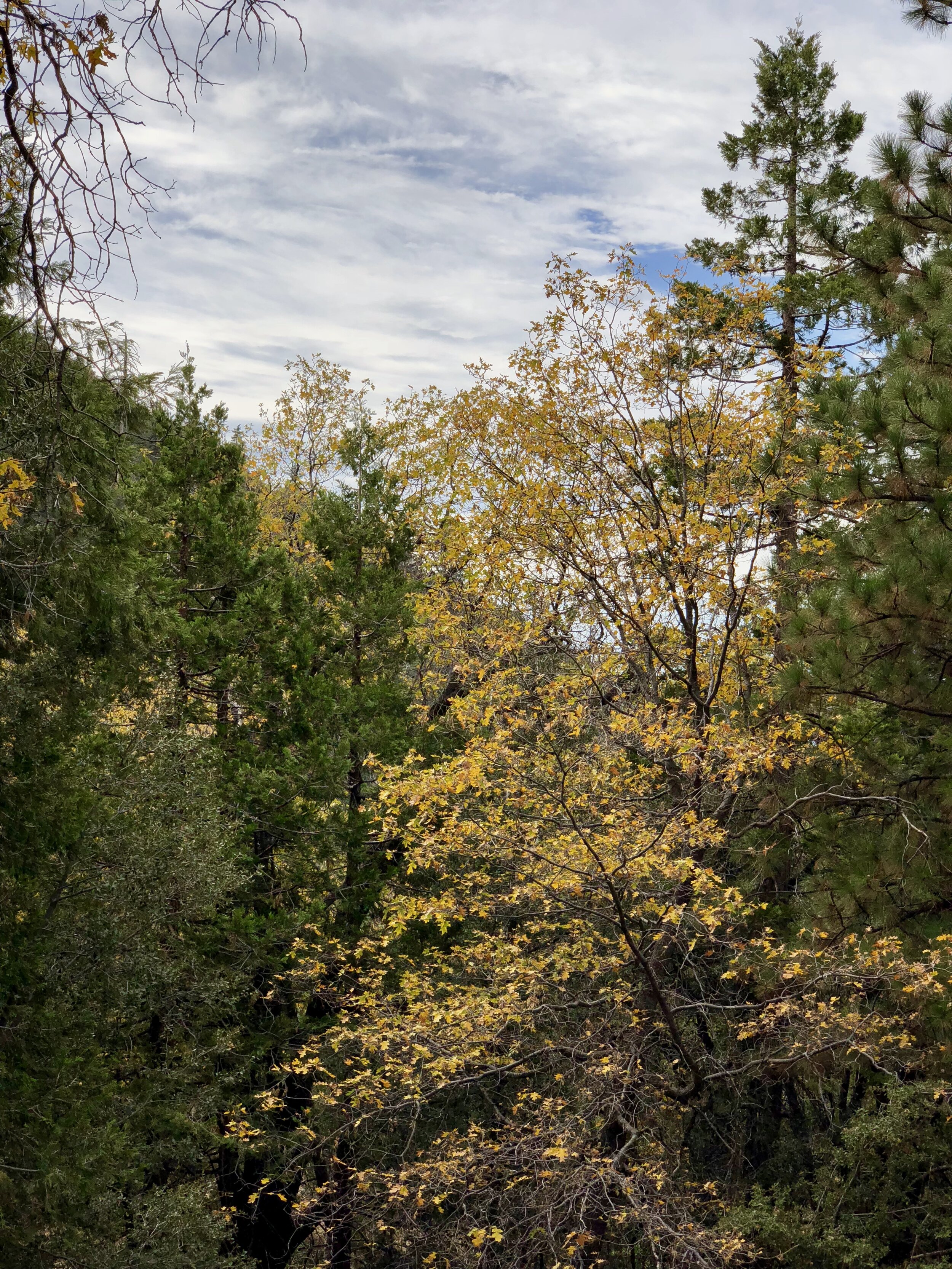
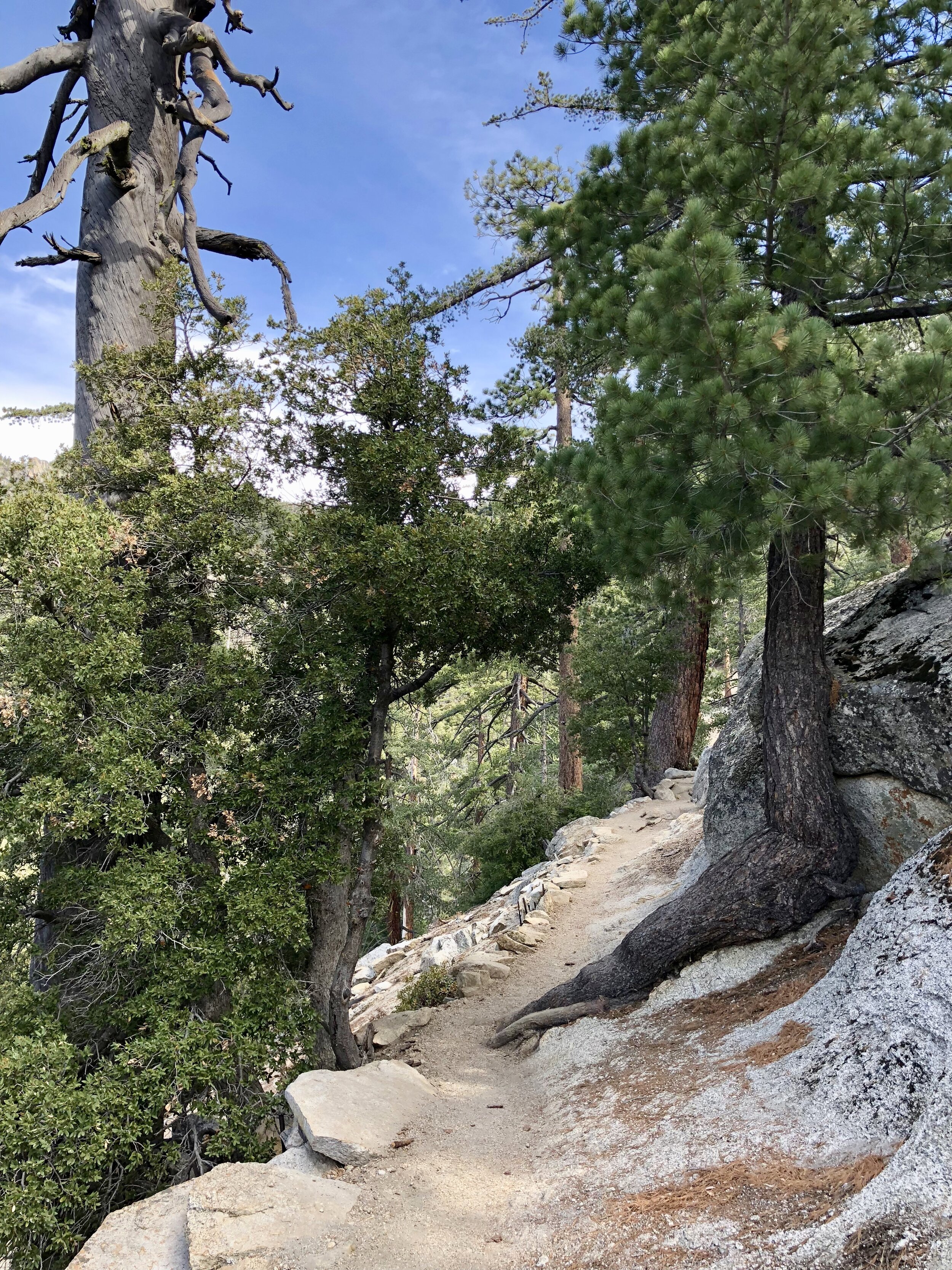
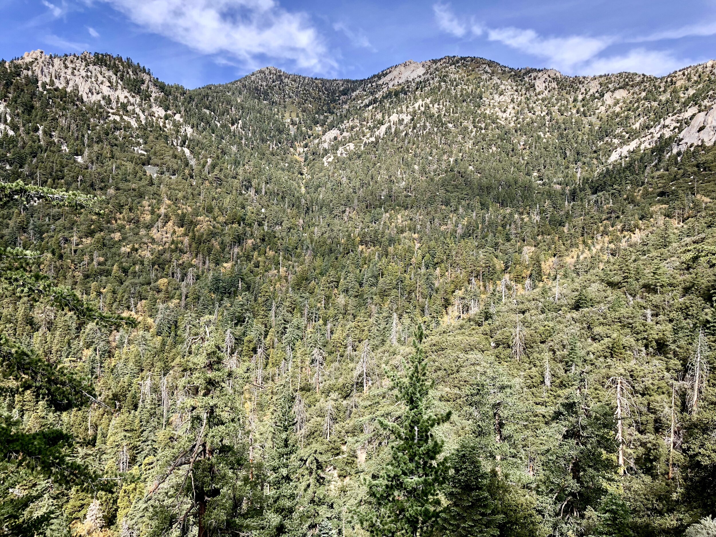
The climbing begins almost immediately after leaving Humber Park. Devil’s Slide Trail gains roughly 1,700 feet over its first 2.5 miles, winding uphill through pines, oaks, manzanita, and enormous granite boulders.
Although the grade is steady, the many switchbacks make the elevation gain more manageable. We brought trekking poles and were grateful to have them, both during the long climb and later on the descent.
The trail was well maintained and easy to follow during our visit. As we climbed higher, openings between the trees gave us increasingly broad views across the surrounding ridges.
Saddle Junction and the Pacific Crest Trail
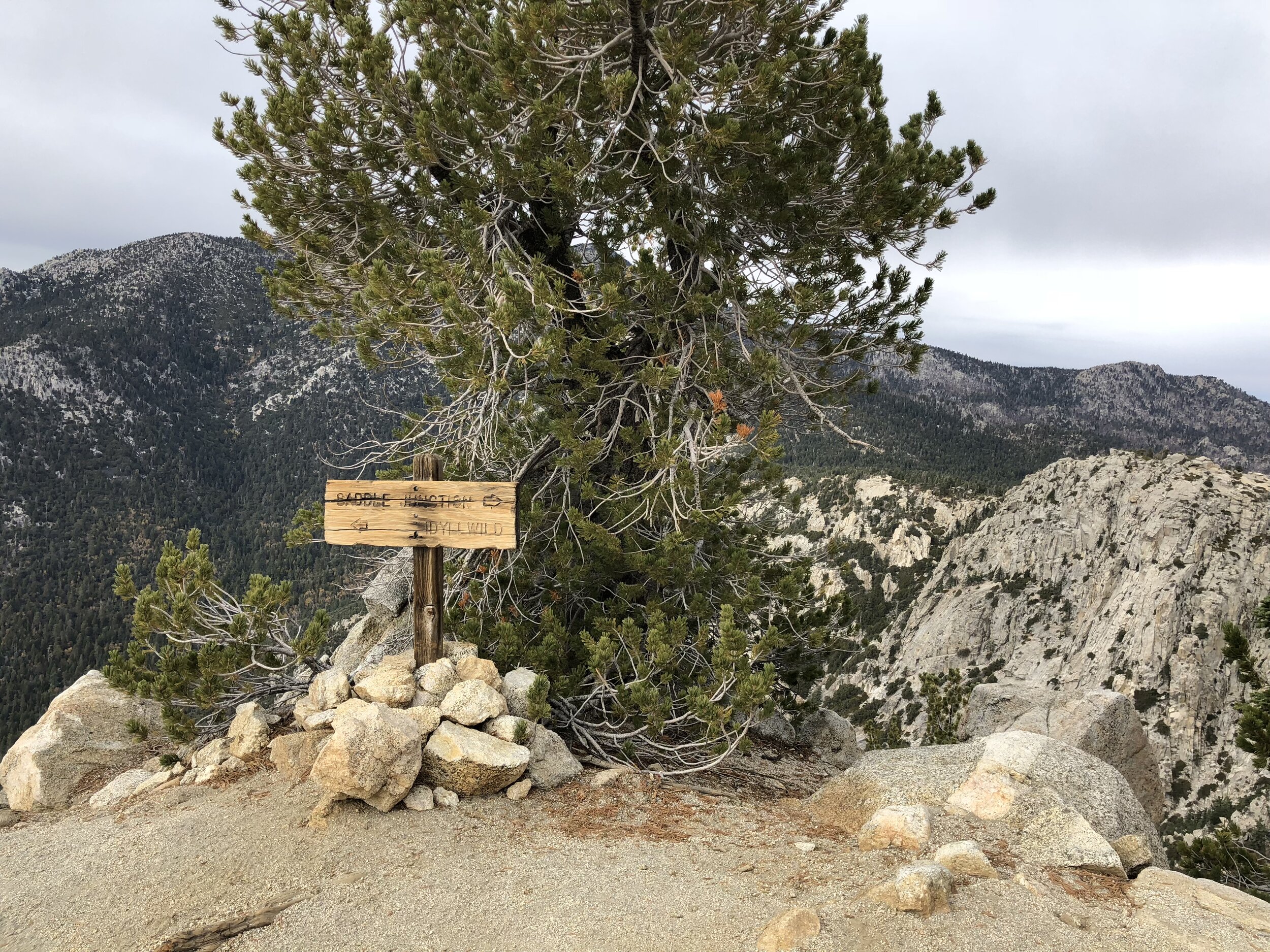
After approximately 2.5 miles, we reached Saddle Junction. Several trails meet here, making it a natural place to stop, catch our breath, and make sure we were continuing in the right direction.
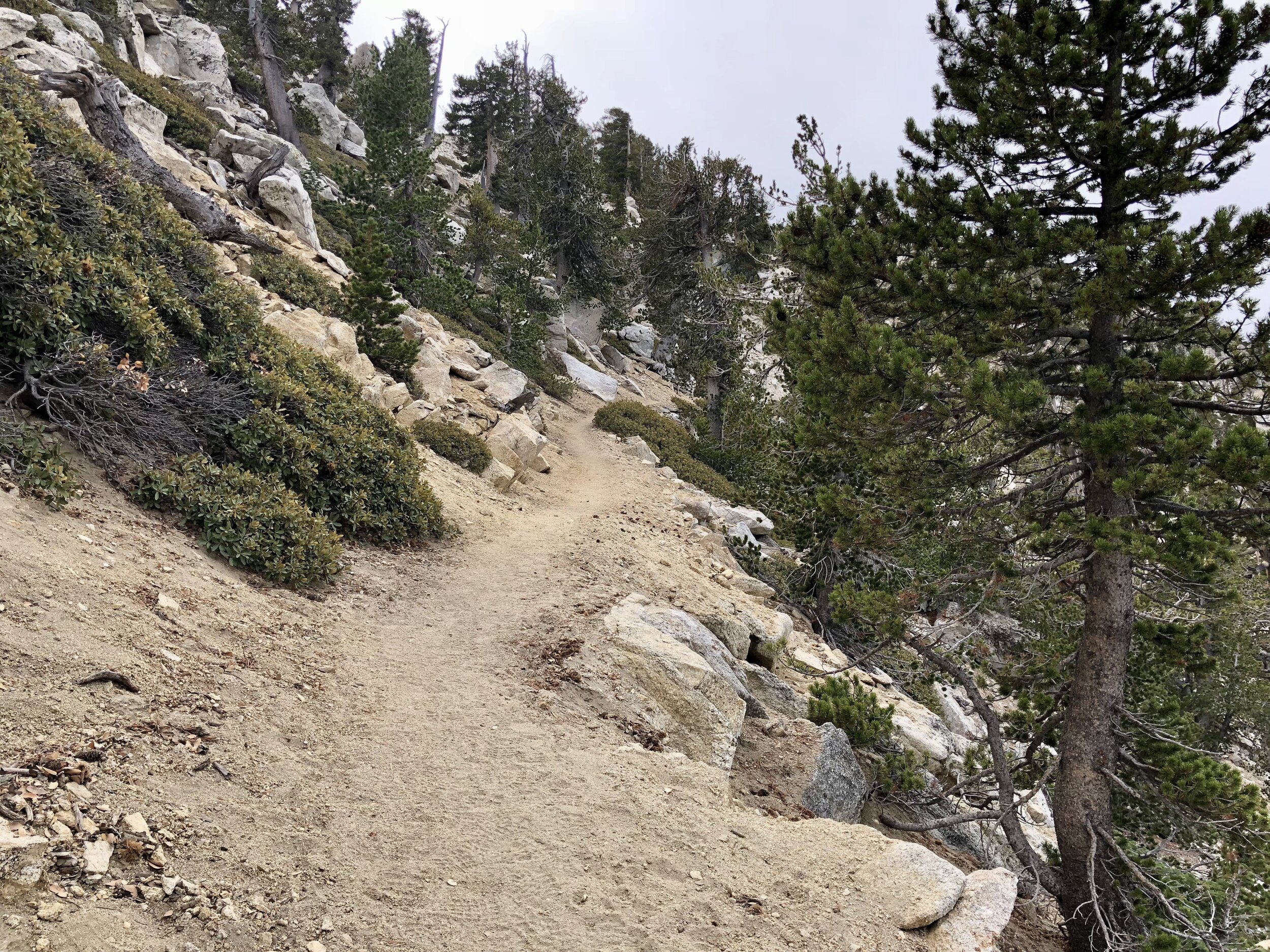
From the junction, we turned sharply right and followed the section marked as the Pacific Crest Trail toward Chinquapin Flat. The grade eased after the sustained climb on Devil’s Slide, and the landscape gradually became rockier and more open.


At Chinquapin Flat, a signed junction directed us away from the PCT and toward Tahquitz Peak. The final section curved around the mountain before climbing to the lookout.

Reaching Tahquitz Peak Fire Lookout
Tahquitz Peak Fire Lookout was built in 1937. At 8,846 feet, it is the highest lookout in the San Bernardino National Forest and the only one within a designated wilderness area.
The lookout was staffed by volunteers during our visit. We met a woman who had already spent several nights there and had been volunteering for more than ten years. Since the station sits within the wilderness, volunteers hike in and carry the supplies they need.
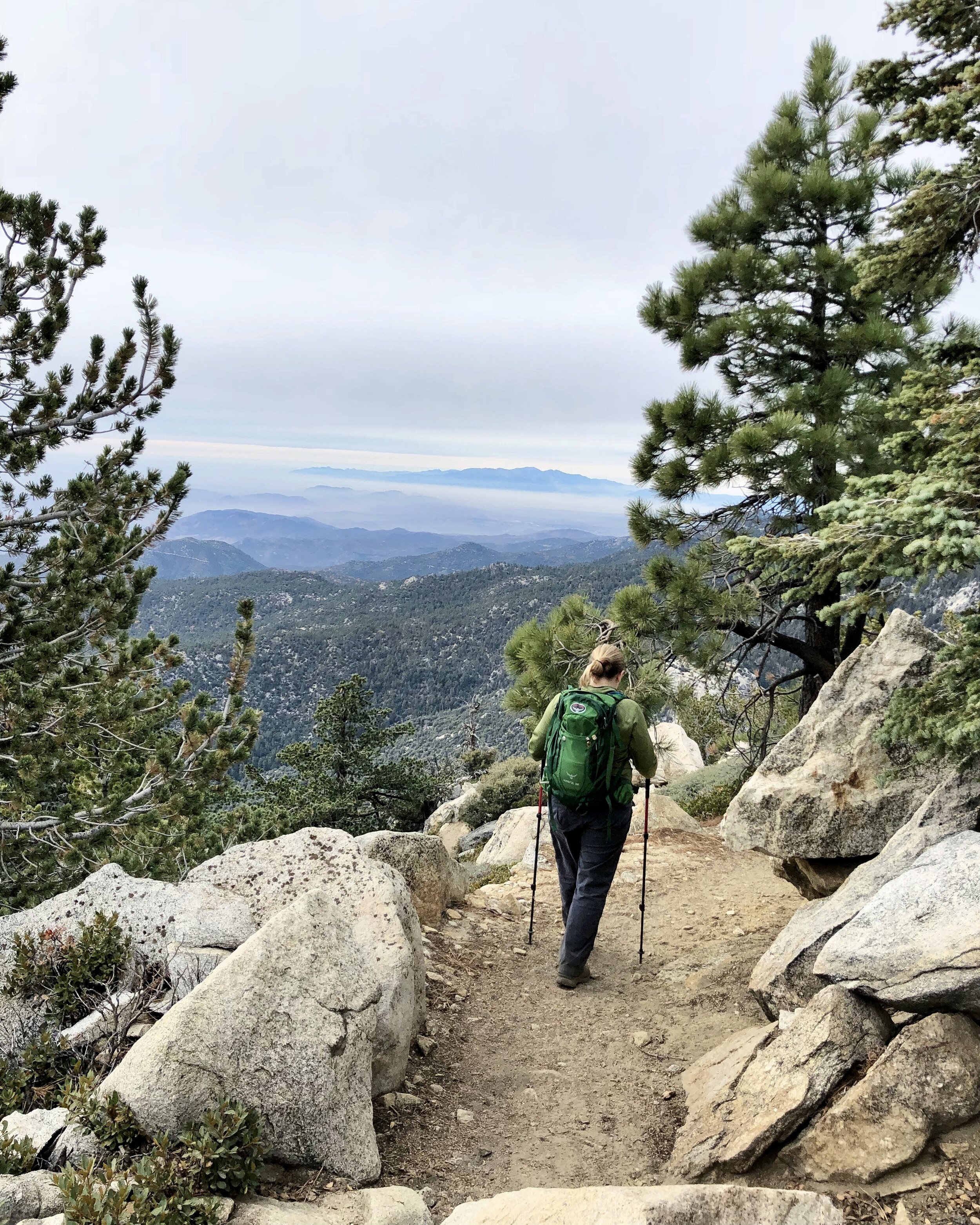
We wandered around the lookout, ate lunch, and took in the views before beginning our return trip. From the peak, the surrounding ridges dropped away beneath us, with the landscape stretching toward the desert in the distance.


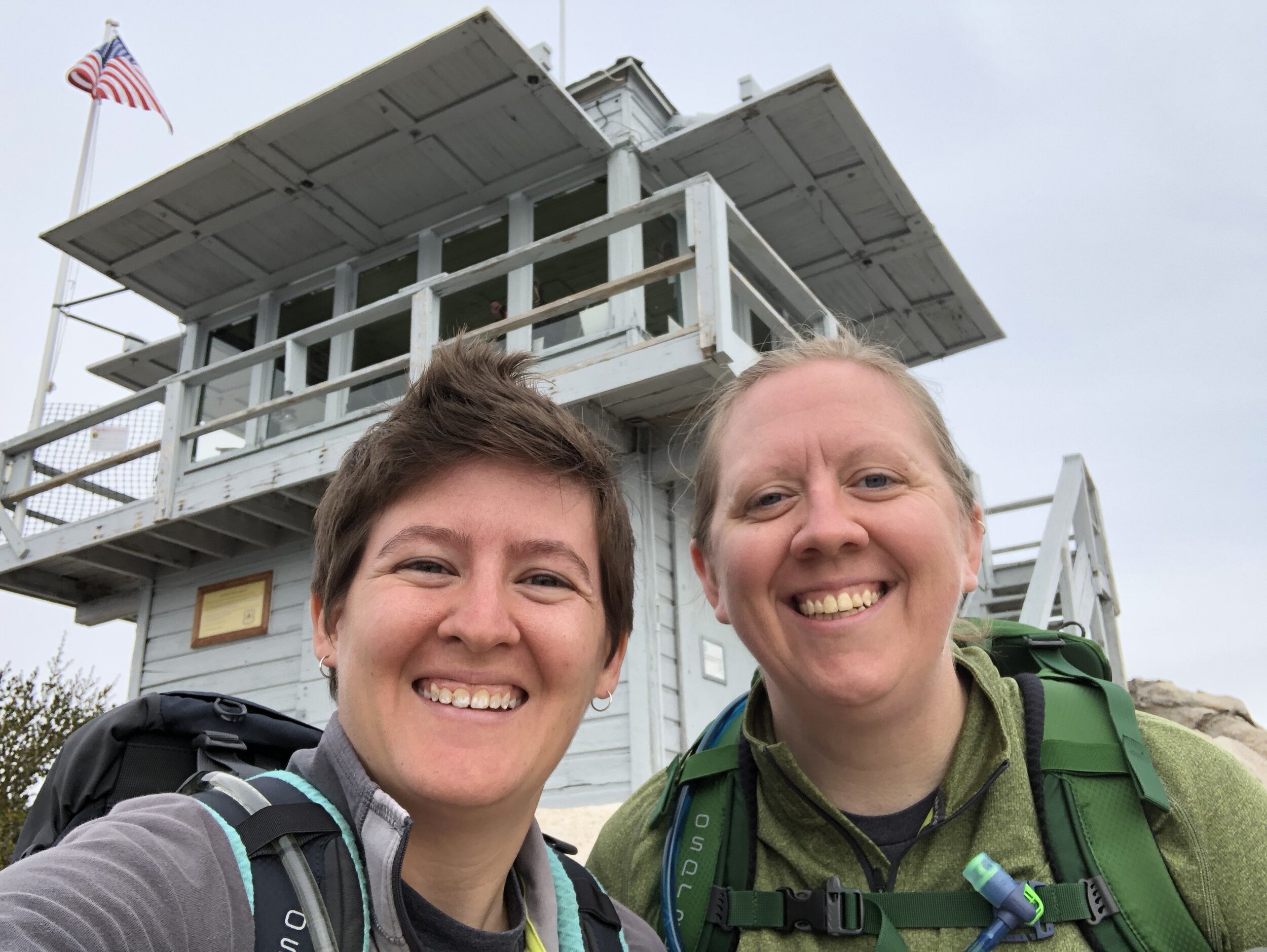
South Ridge Trail offers another route to Tahquitz Peak, but it begins from a different trailhead. We returned the way we came, following the trail back to Chinquapin Flat, Saddle Junction, and Devil’s Slide Trail.

Hiking Back to Humber Park
The hike down was considerably faster, although more than four miles of descending still gave our legs plenty of work. Our trekking poles helped take some of the pressure off our knees as we followed the switchbacks back through the trees.
We carried that happy, tired feeling from reaching the peak all the way down to Humber Park. After a long mountain hike, we always enjoy stopping in town for a proper post-hike meal. Idyllwild has several little restaurants where hikers arrive dusty and hungry, and our burgers, fries, and cold beers tasted especially good after climbing more than 2,300 feet.