Hiking the South Kaibab Trail to Cedar Ridge at the Grand Canyon

As soon as we began planning our first Grand Canyon trip, we started researching hikes below the rim. We did not have enough time for an overnight backpacking trip, but we still wanted one hike that would take us into the canyon rather than only along its edge.
We chose the South Kaibab Trail because of its broad views and exposed ridgeline. During our February visit, just before COVID-19 changed travel, we had cool temperatures, warm sun, and only a light breeze.


An Icy Start Below the Rim
We ate an early breakfast at our campsite and caught the park shuttle from the Visitor Center. Private vehicles cannot access the South Kaibab trailhead, so the shuttle was the easiest way to reach it.
The first thing we noticed at the trailhead was sunlight sparkling across ice on the upper switchbacks. Several hikers were putting traction devices on their boots before starting down. We had sturdy hiking boots and trekking poles, but no spikes. We moved slowly and carefully through the shaded section, where extra traction would have been useful.
The trail immediately dropped through one switchback after another. Ice covered only the first few shaded turns, and the path became dry once we reached the sun. With every bend, another layer of the canyon opened below us.
Ooh Aah Point
Our first stop was Ooh Aah Point, approximately 0.9 mile below the trailhead. Many day hikers turned around here after taking in the panoramic view.
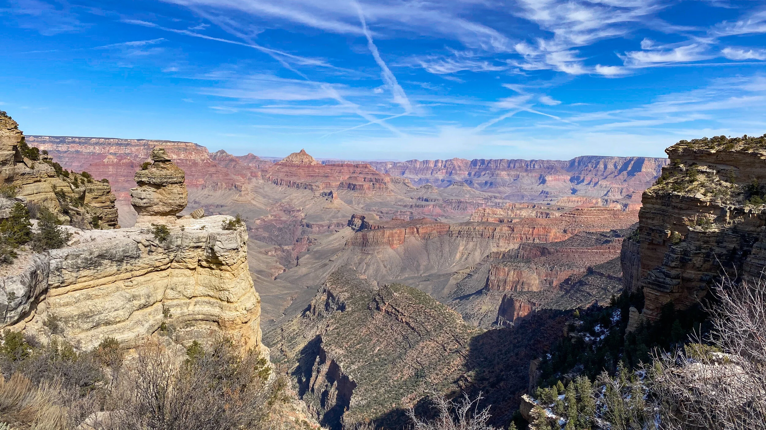
The overlook earned its name. Canyon walls dropped away in front of us, with ridges and cliffs receding through shifting shades of red, brown, and blue. We had already descended far enough to feel surrounded by the canyon, but our goal was Cedar Ridge, so we continued.
Shortly after Ooh Aah Point, movement along the slope caught our attention. A Desert Bighorn Sheep was grazing beside the trail, with a couple more nearby. They moved easily across ledges that seemed impossibly steep from where we stood.
We gave them plenty of room and continued down the trail, still watching them pick their way across the rock.


Following the Ridgeline to Cedar Ridge
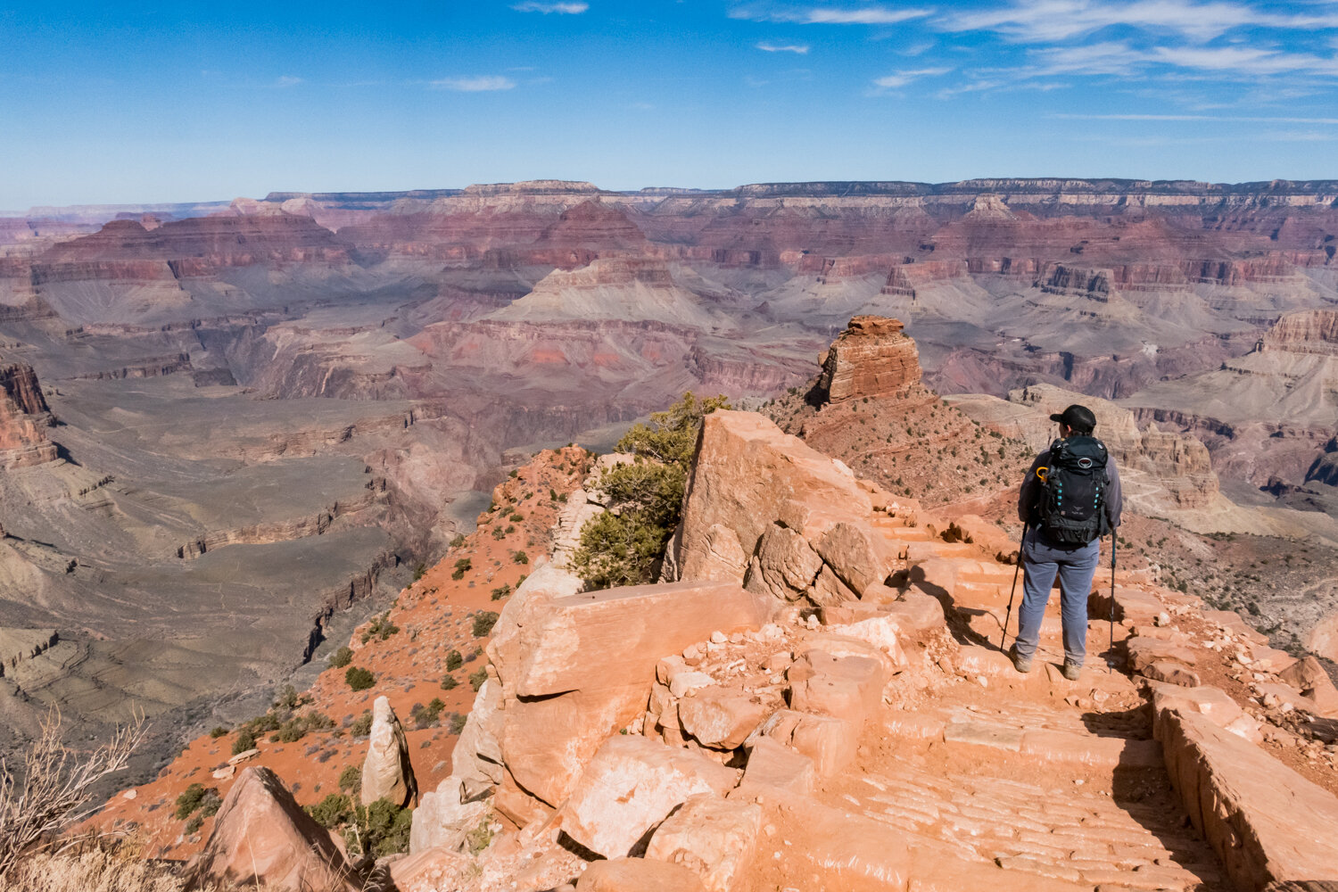
Below Ooh Aah Point, the trail became even more interesting. Rough stairs made from logs, dirt, and stone carried us down toward the ridgeline.
In places, the trail seemed balanced along the narrow top of the ridge, with the canyon falling away on both sides. The exposure made us pay attention to our footing, but it also gave us uninterrupted views in every direction.
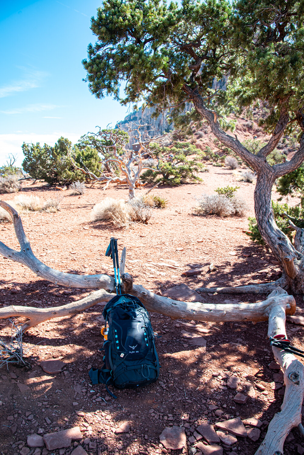
Cedar Ridge sits 1.5 miles from the trailhead, approximately 1,140 feet below the rim. We found a little shade beneath a tree, ate some snacks, and watched a mule group make its way along the trail.
There are toilets at Cedar Ridge but no drinking water or trash service. Everything carried down the trail needs to be carried back out.




California Condors Over Cedar Ridge
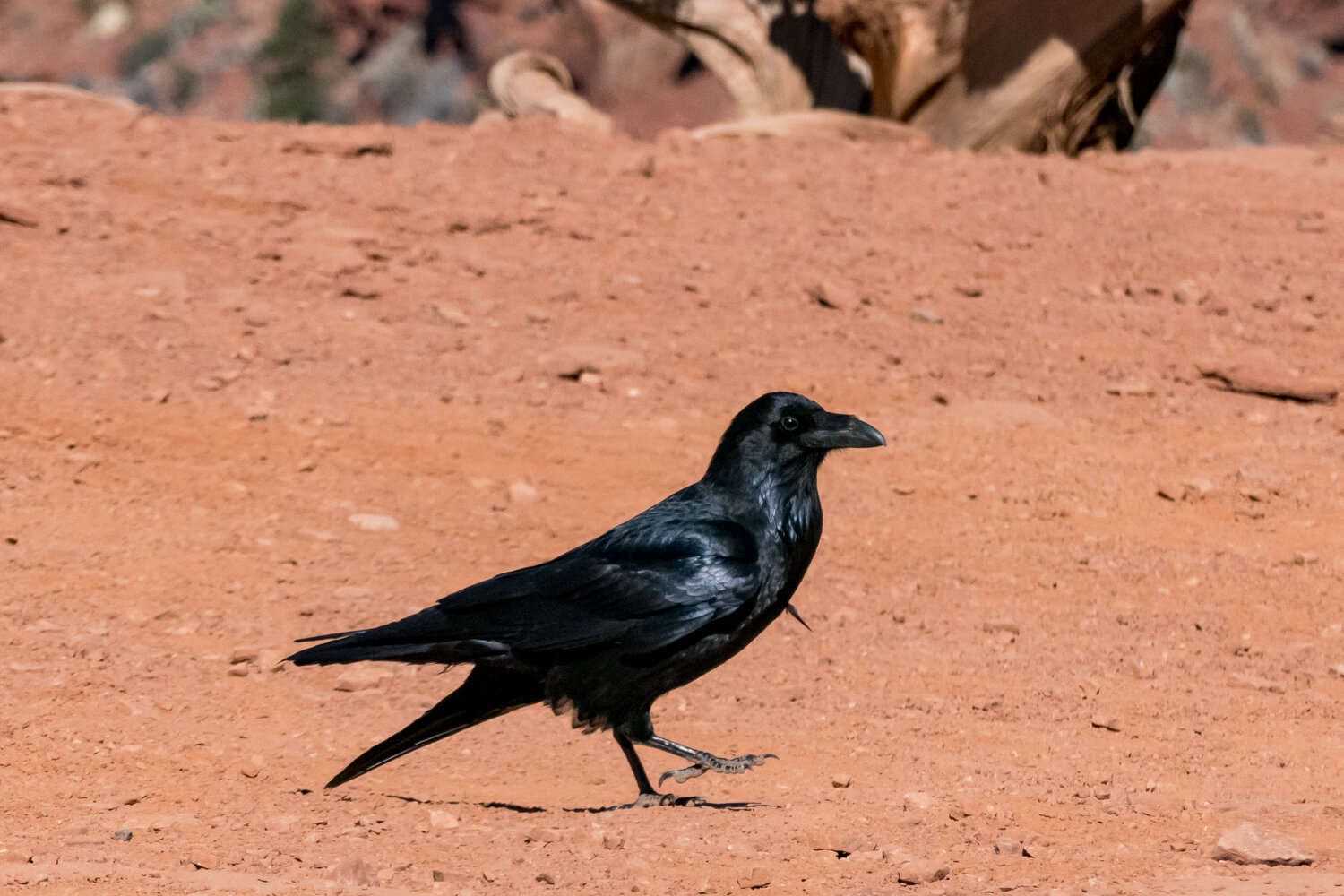
While we were sitting at Cedar Ridge, two enormous dark shapes appeared in the distance. Kim initially thought they were airplanes. I looked again and realized they were California Condors.
I had been hoping so badly to see one during this trip. Suddenly, there were two above us, soaring over the canyon on wings that looked almost impossibly broad.
They barely seemed to move. The birds held their wings flat and rode the rising air, circling over the cliffs without wasting energy on unnecessary wingbeats. Against the scale of the canyon, even birds with wingspans approaching ten feet could look small until they passed closer overhead.
Seeing those Condors gave me more than enough excitement to carry into the steep hike back to the rim.


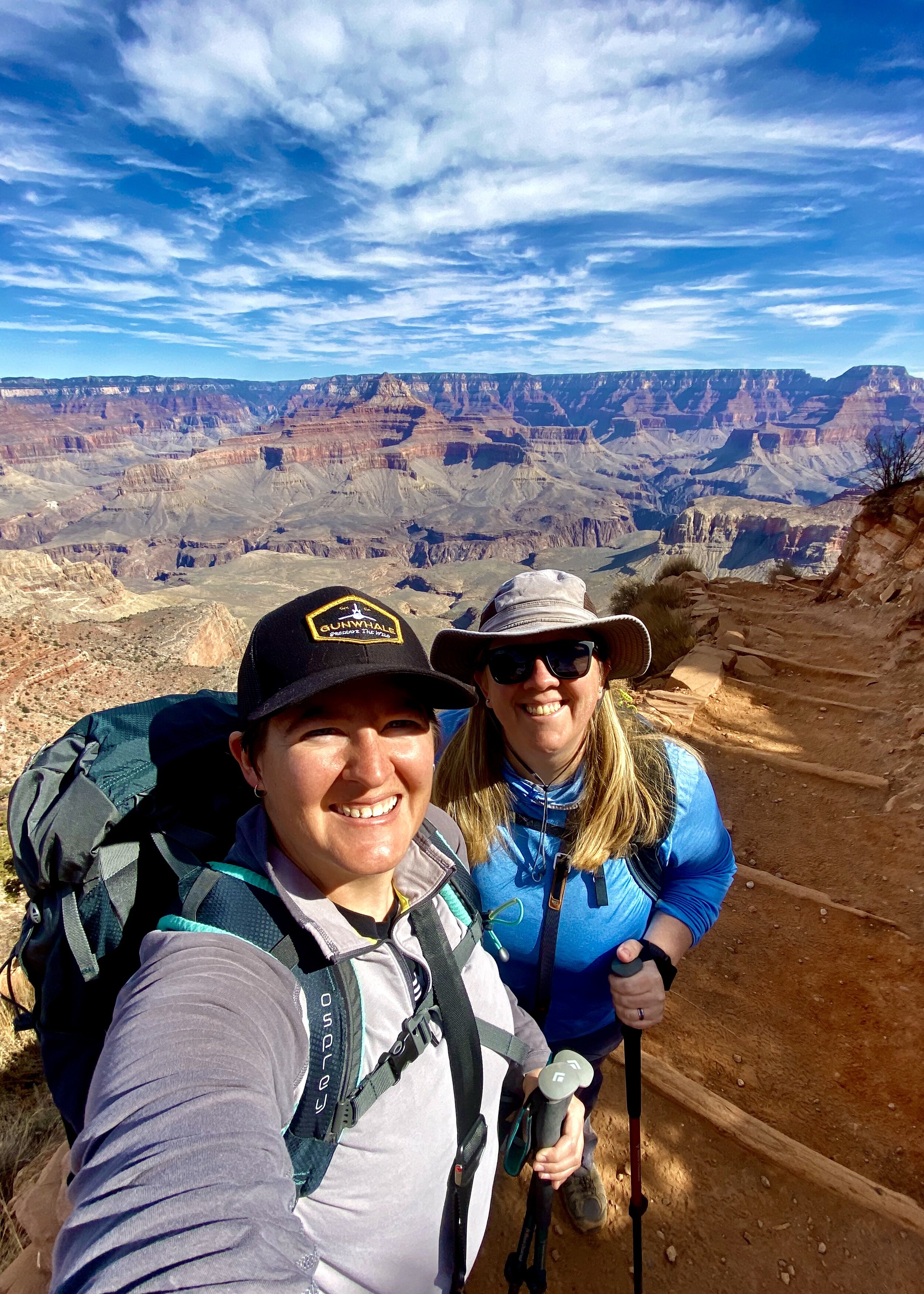
Climbing Back Out
Before turning around, we walked around Cedar Ridge and took in the views from several sides. After hiking 1.5 miles and descending more than 1,000 feet, the bottom of the canyon still looked incredibly far away.
We considered continuing to Skeleton Point, three miles from the trailhead, but that would have doubled our distance and required a much longer climb back out. Cedar Ridge was the right turnaround point for this trip.
The descent had felt surprisingly easy. The return made the elevation change much more obvious. Every step led uphill, and the switchbacks above us seemed to multiply as we climbed.
We moved more slowly going up, but the cool February air kept the hike comfortable even in full sun. By the time we reached the icy upper switchbacks, we were tired enough to take our footing especially seriously.
The South Kaibab Trail gave us exactly what we wanted from our first hike into the Grand Canyon: exposed ridges, wide views, Bighorn Sheep moving across the cliffs, and two California Condors circling above Cedar Ridge.