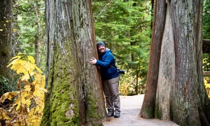

We had visited Point Reyes once before and knew we would return to explore more of the trails. An injury limited our first trip to places we could reach by car, so we planned this visit around hiking and chose a loop that would take us through several different landscapes.
Point Reyes has excellent trail maps available online, and we made a few notes about the junctions before leaving home. When we arrived at the Bear Valley Visitor Center, we stopped to speak with a ranger and confirm that the trails were in good condition. Some routes at Point Reyes can become overgrown or blocked by fallen trees, so checking current conditions before starting a long hike is always a good idea.
We returned to the car, loaded our packs with snacks, water, sunscreen, and our usual hiking supplies, then started down Bear Valley Trail.
Bear Valley Trail
Bear Valley Trail leaves directly from the parking area and immediately enters the woods. The wide path was surrounded by berry bushes, ferns, and dense green vegetation, with plenty of tree cover overhead.
This was one of the busier sections of our route, and we passed several other hikers as we walked away from the visitor center. It was an easy beginning to the day and gave us time to settle into the hike before reaching the steeper trails ahead.
After about 0.8 mile, we turned onto Meadow Trail.
Climbing Meadow Trail
Meadow Trail began with the steepest sustained climb of the route. The grade eased somewhat as we moved higher, eventually opening into grassy areas surrounded by shrubs and wild growth.
We enjoyed the climb and the change from the shaded Bear Valley Trail, but this was also where our day took an unsettling turn.


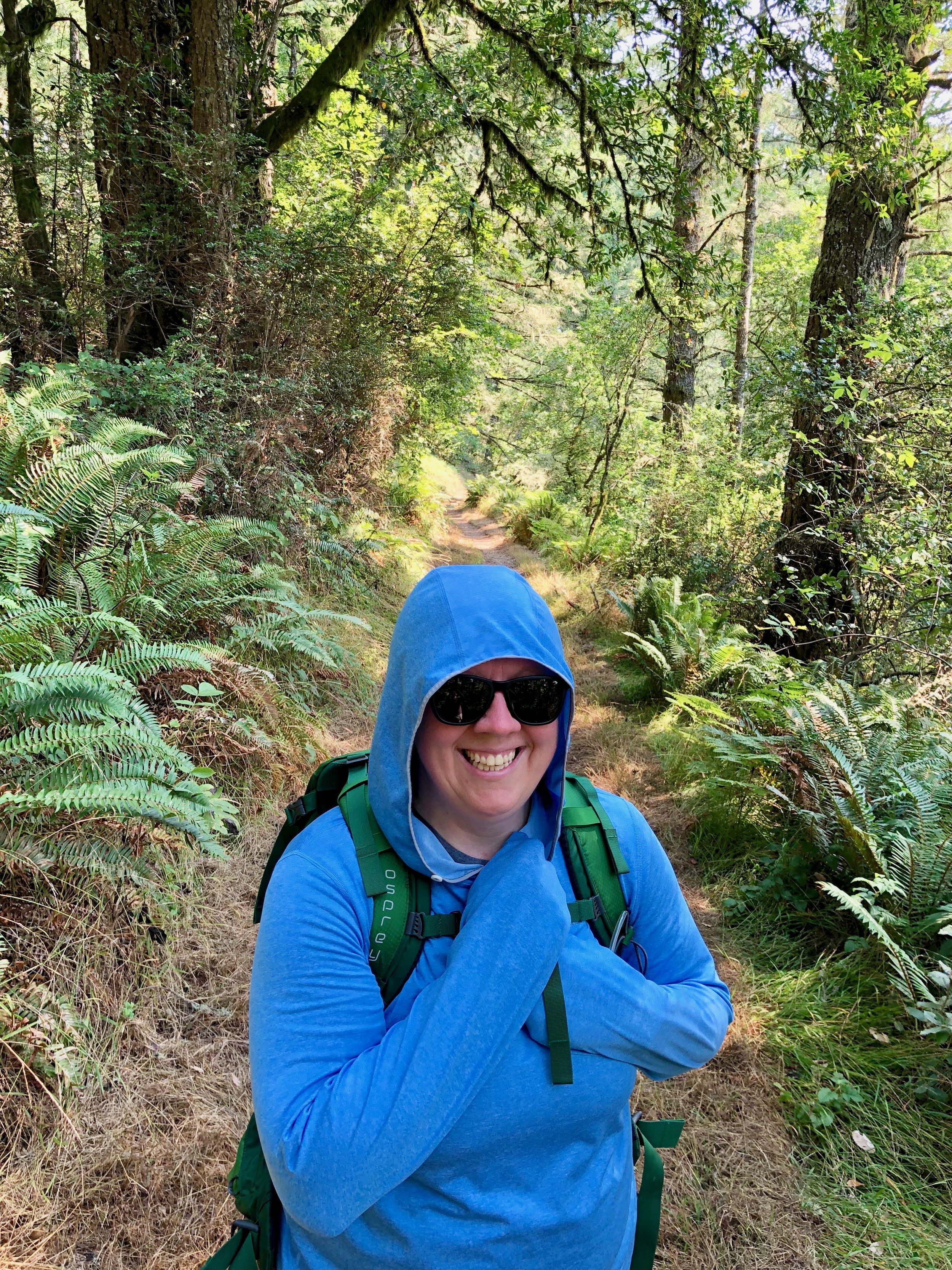
The meadow was filled with bees, which would not normally be remarkable except that I am allergic to bee stings. I carry epinephrine auto-injectors and try to coexist peacefully with bees wherever we hike, but somewhere near the end of Meadow Trail, one collided with my hand and stung my finger.
I don’t think it intended to sting me. It seemed to fly directly into my hand, and my immediate reaction was to pull off my wedding ring before the swelling made it difficult. The ring caught the stinger and removed it almost immediately, which may have been a lucky move! Kim pulled out an epipen while checking for non-existent cell service.
Without a signal, there was no immediate way to call for help. We found a shaded place beside the trail, used a sting-relief wipe from our first-aid kit, and waited while I tried to stay calm. I watched closely for changes in my breathing or throat.
After several minutes, the reaction appeared to remain limited to my hand. My finger was swollen and painful, but I was breathing normally and did not have other symptoms. It was a frightening interruption, but thankfully the reaction never progressed beyond a very sore and swollen hand.


Sky Trail
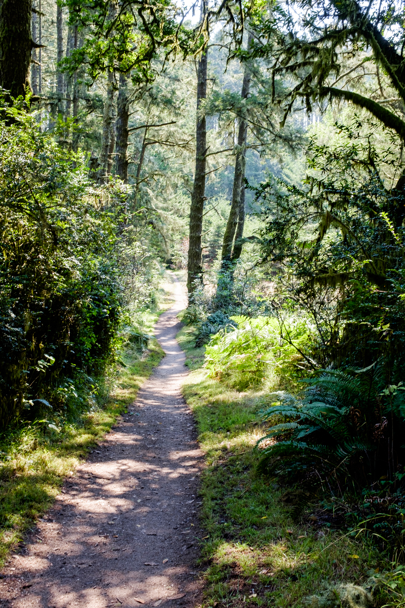
When Meadow Trail met Sky Trail, the landscape changed again. The open meadow gave way to tall trees, thick moss, ferns, and deep green forest that felt much more like a coastal rainforest than the dry California landscape we were used to hiking.
The forest was damp and bright with moss, and the trees enclosed the trail in layers. After the exposed climb on Meadow, the cooler air and shade felt especially good.
Farther along Sky Trail, the path narrowed and began twisting through taller grasses and shrubs. Small snakes crossed in front of us several times, and we heard more movement in the brush beside the trail. Most disappeared before we had more than a quick look, but the repeated rustling kept us alert. There were a few stretches where we moved through a little faster than usual.
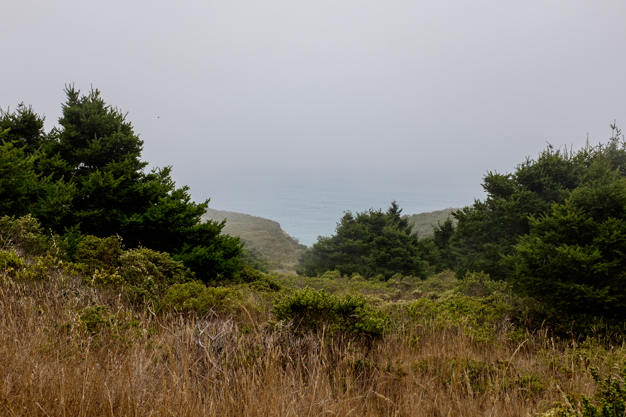
Sky Trail carried us through the forest for almost four miles. As we approached the coast, occasional openings in the vegetation gave us glimpses toward the water. Fog covered much of the view, but we could hear waves below and feel the cooler ocean air moving inland.
Near the end of Sky Trail, we connected with Coast Trail for the short stretch leading back toward Bear Valley Trail.


Reaching the Coast
Although we were above the shoreline rather than directly on the beach, it felt good to reach the coast after the long climb and forested miles. Fog moved through the vegetation, and the sound of the surf rose from below even when we could not see the water clearly.
There were side routes leading toward beaches, but we stayed with our planned loop. We found a place to stop, ate lunch and snacks, and rested for a while in the cool breeze.
My hand was still sore from the sting, but everything else felt normal by then, which allowed us to relax a little more before beginning the return hike.



Returning on Bear Valley Trail
From the coast, we turned onto Bear Valley Trail and followed it toward the visitor center.
The trail widened soon after leaving the junction and became smoother underfoot. After the climbing and narrow paths on Meadow and Sky, this section felt much easier. Coast Creek ran beside portions of the trail, adding the steady sound of moving water beneath the trees.
Dense vegetation grew along the creek, and branches occasionally formed a tunnel over the path. This was a more heavily traveled section, and we even passed families using strollers on parts of the wider trail.
A recently fallen tree blocked the path at one point, but hikers had created a way through the branches and trunk. We climbed through the opening and continued without much trouble.


A little more than halfway back to the trailhead, we passed Divide Meadow, where there were picnic tables, shade, and a restroom. It looked like a pleasant place to stop, but by then we were focused on returning to the car. We had more snacks waiting, along with some ice for my swollen hand.


Our Point Reyes Loop
Our route combined five trail sections:
Bear Valley Trail: 0.8 mile
Meadow Trail: 1.6 miles
Sky Trail: 3.9 miles
Coast Trail: 0.5 mile
Bear Valley Trail: 4 miles
Total distance: Approximately 10.8 miles
The loop gave us exactly the variety we had hoped to find. We walked through shaded woodland, climbed into open meadow, crossed a damp forested ridge, reached the foggy coast, and followed a creek back through Bear Valley.
It was also a good reminder to carry a first-aid kit and any personal emergency medications, even on well-established trails. Cell service at Point Reyes can be weak or unavailable, and our experience on Meadow Trail could have become much more serious.
Earthquake Trail
Earthquake Trail is a paved loop near the Bear Valley Visitor Center. At only about 0.6 mile, it was an easy walk after the previous day’s hike.
Interpretive signs explain the San Andreas Fault, the 1906 earthquake, and the geology of the region. One of the most memorable stops shows the remains of a fence that was displaced during the earthquake, creating a clear visual example of how dramatically the ground moved.
It was a short trail, but it added useful context to a landscape shaped by powerful forces beneath the surface.


Earthquake Trail
Earthquake Trail is a paved loop near the Bear Valley Visitor Center. At only about 0.6 mile, it was an easy walk after the previous day’s hike.
Interpretive signs explain the San Andreas Fault, the 1906 earthquake, and the geology of the region. One of the most memorable stops shows the remains of a fence that was displaced during the earthquake, creating a clear visual example of how dramatically the ground moved.
It was a short trail, but it added useful context to a landscape shaped by powerful forces beneath the surface.


Point Reyes quickly became one of those places we could visit repeatedly without feeling finished. The trails cross forests, meadows, beaches, and coastal ridges, and the landscape changes dramatically with the weather.