After spending our first night at Texas Spring Campground, we packed up camp, grabbed one more cup of coffee, and set off to explore some of Death Valley's most iconic landscapes.
Our route for the day would take us south along Badwater Road before looping back through several of the park's most famous stops. We had no strict schedule, which turned out to be one of the best ways to experience Death Valley. There was always something interesting waiting around the next bend.
Badwater Basin
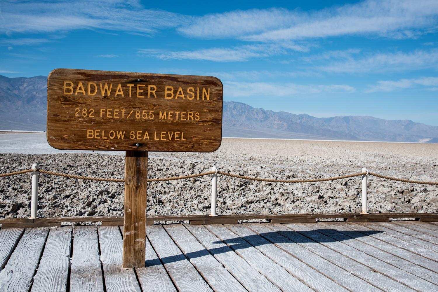
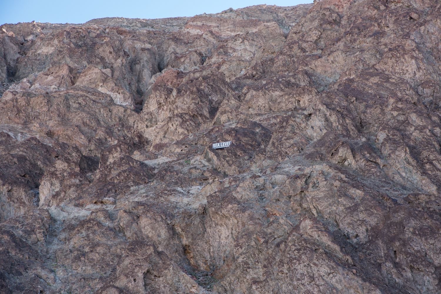
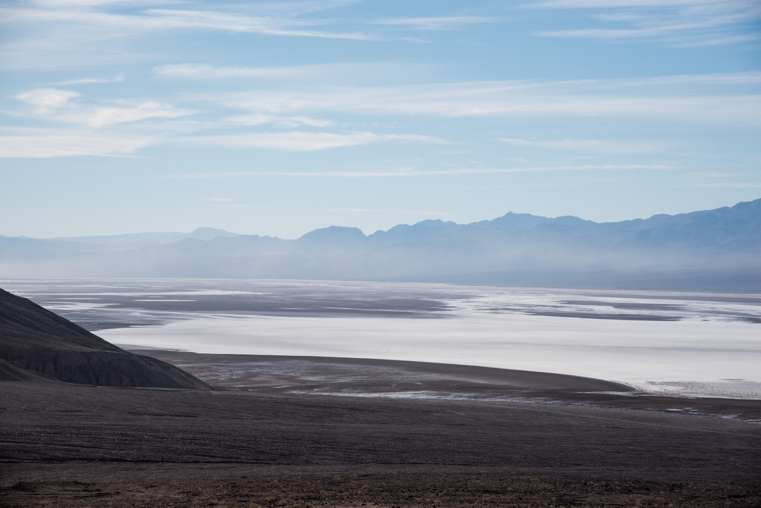
Our first destination was Badwater Basin, the lowest point in North America at 282 feet below sea level.
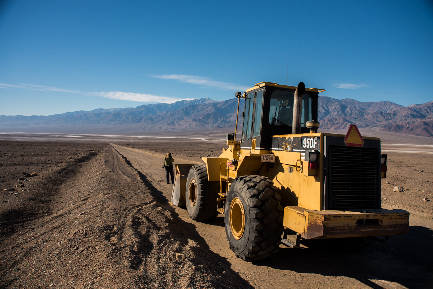
On the drive south, we even stopped to investigate a closed dirt road where a lone tractor sat abandoned in the middle of the desert. It wasn't part of the plan, but little moments like that are part of what makes exploring Death Valley so much fun.
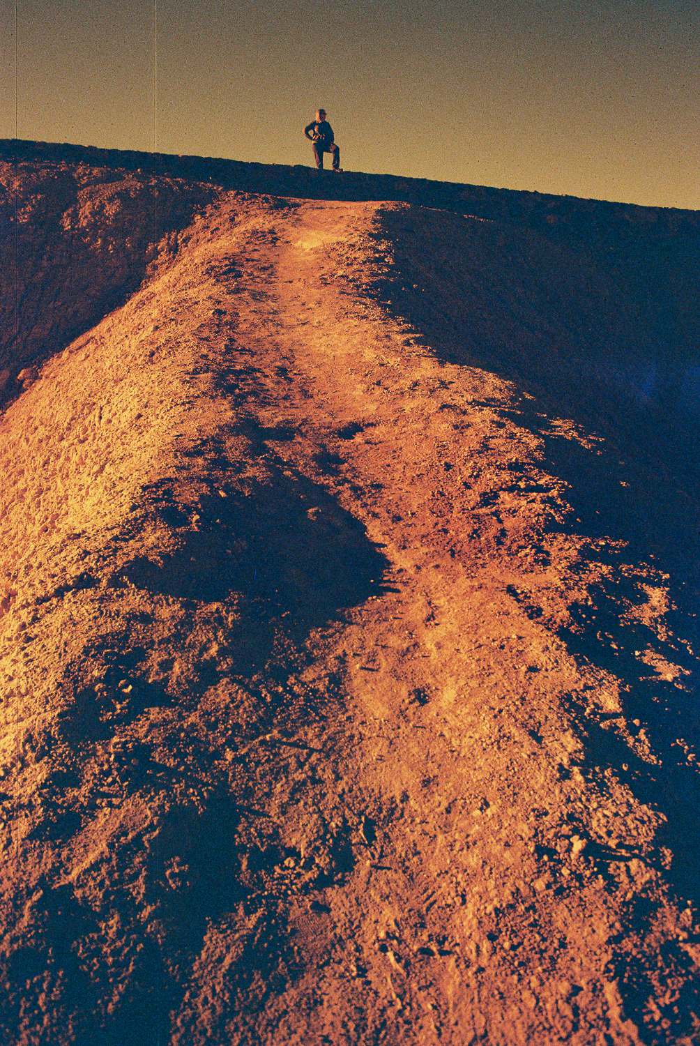
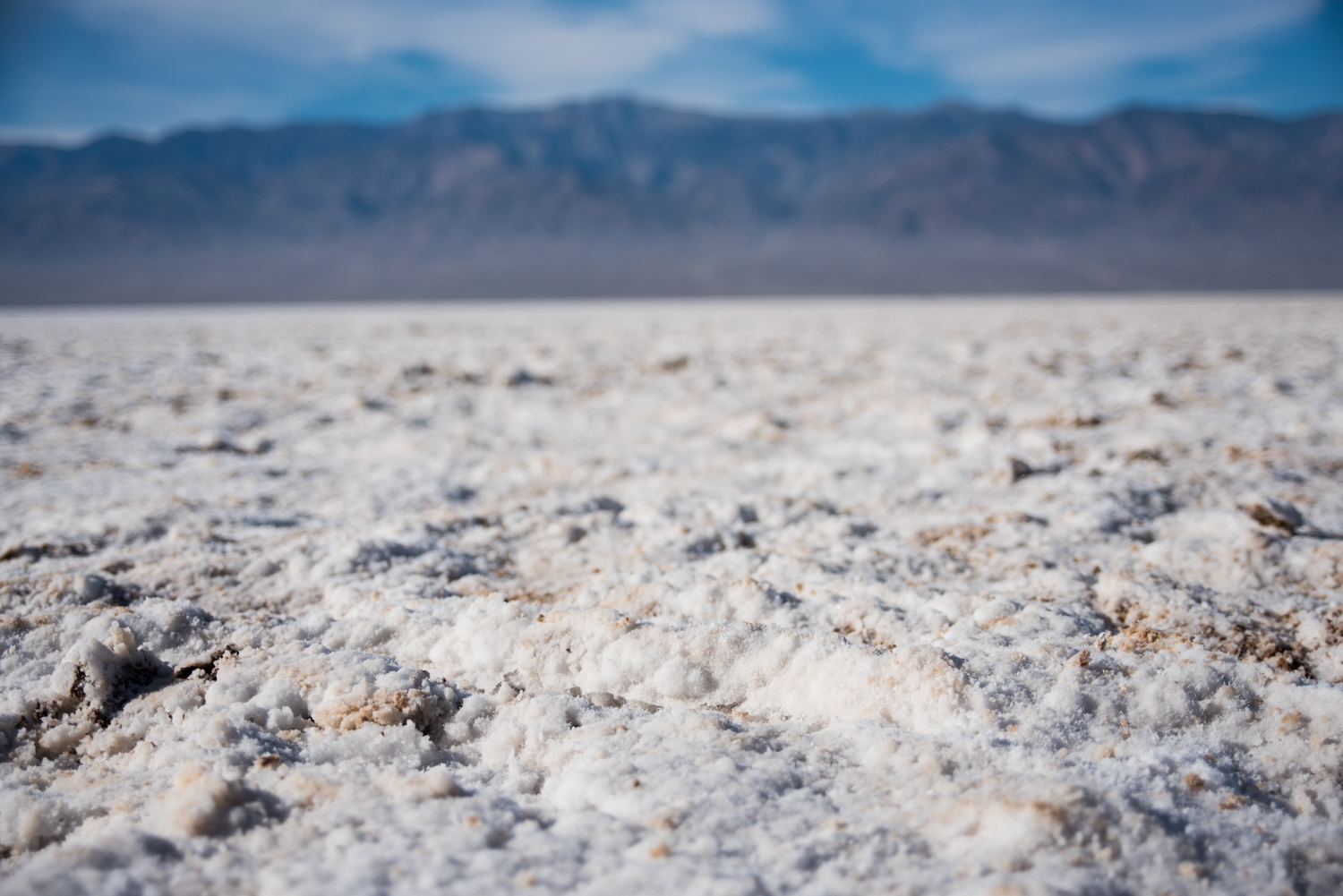
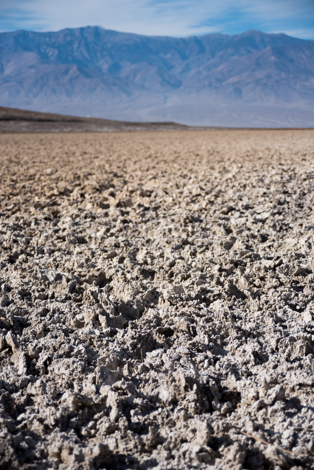
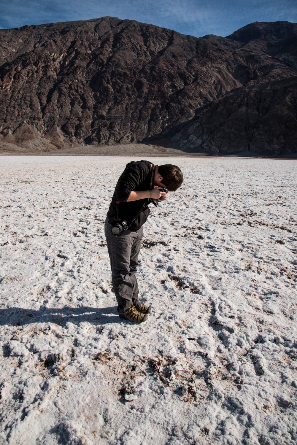
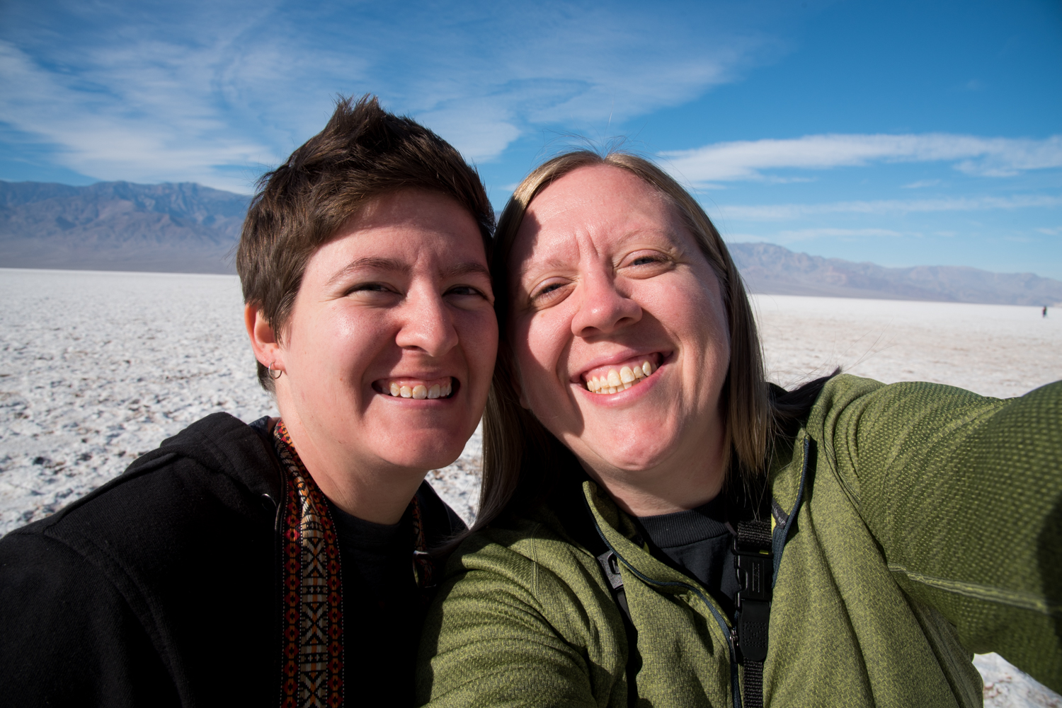
Walking across Badwater Basin almost feels like stepping onto another planet. The vast white salt flats stretch toward the mountains in every direction, creating a landscape that's difficult to appreciate until you're standing in the middle of it.
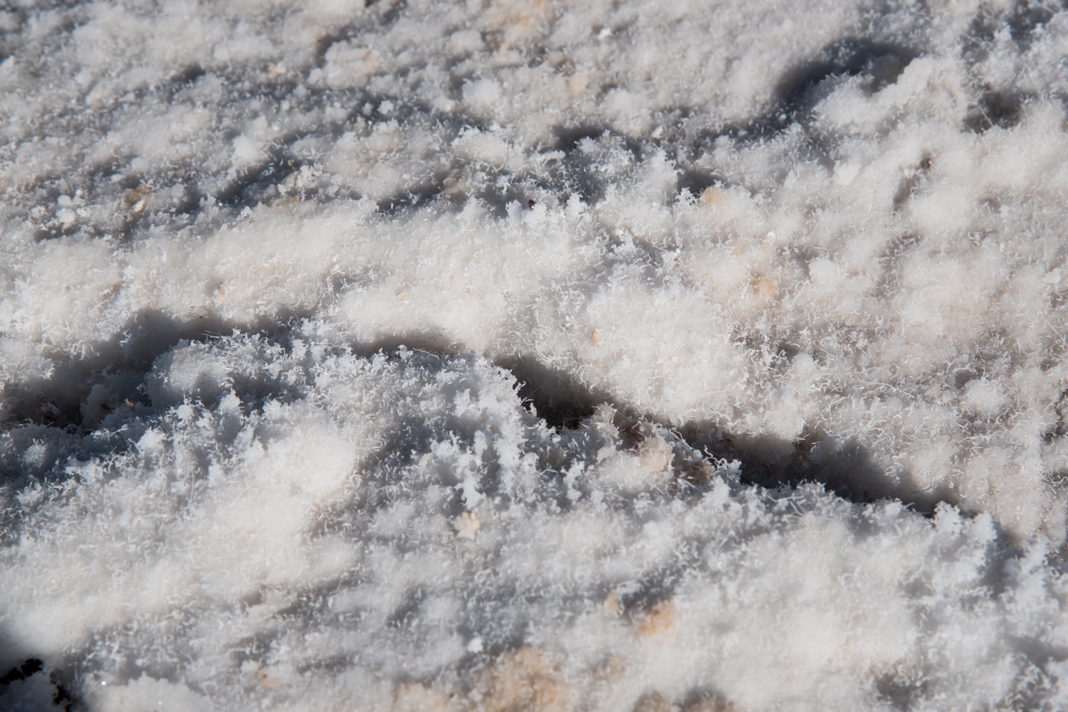
We spent about an hour wandering across the salt flats with several cameras in hand, photographing the changing patterns beneath our feet and the dramatic mountains surrounding the basin.
Even though we visited in December while temperatures were comfortable, the dry air caught us by surprise. By the time we returned to the parking area, we were noticeably thirsty. If you're visiting during the warmer months, don't underestimate this short walk. Bring plenty of water, wear sun protection, and remember there is very little shade anywhere on the salt flats.
Natural Bridge
After leaving Badwater Basin, we headed back north before turning onto the dirt road leading to Natural Bridge.
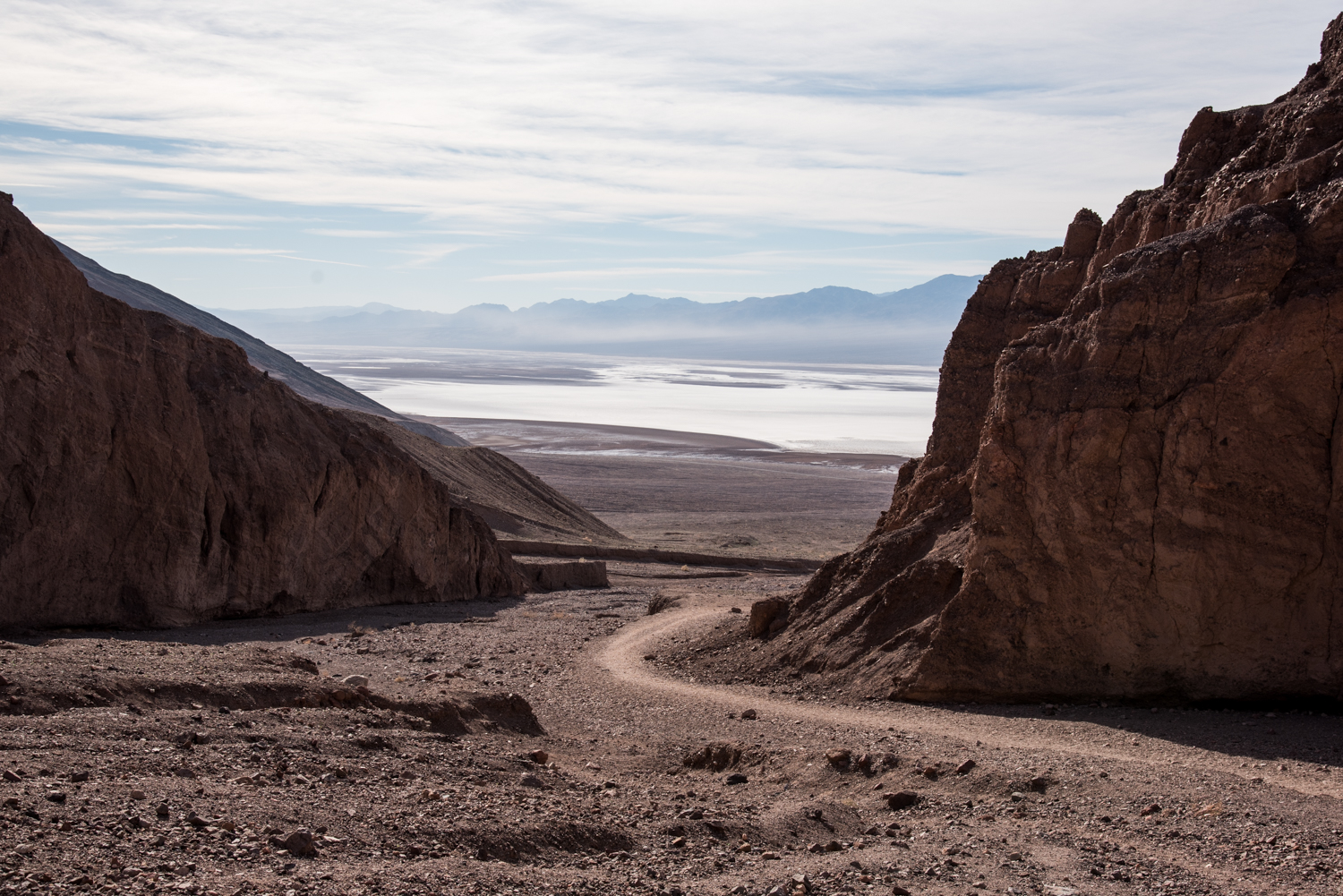
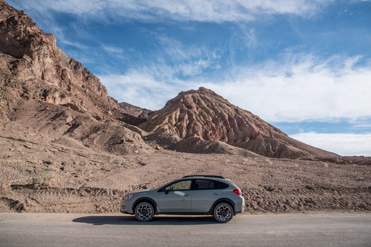
The road to the trailhead is about a mile and a half long. Our Subaru Crosstrek handled it without any trouble, and we saw everything from SUVs to a few passenger cars parked at the trailhead.
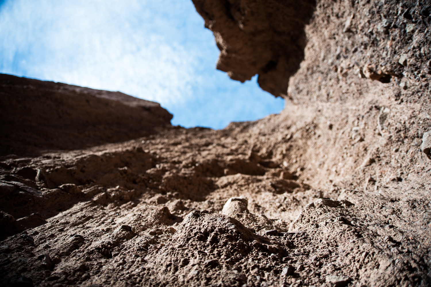
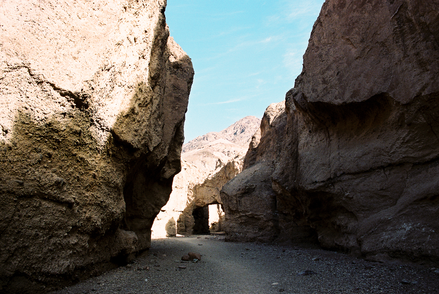
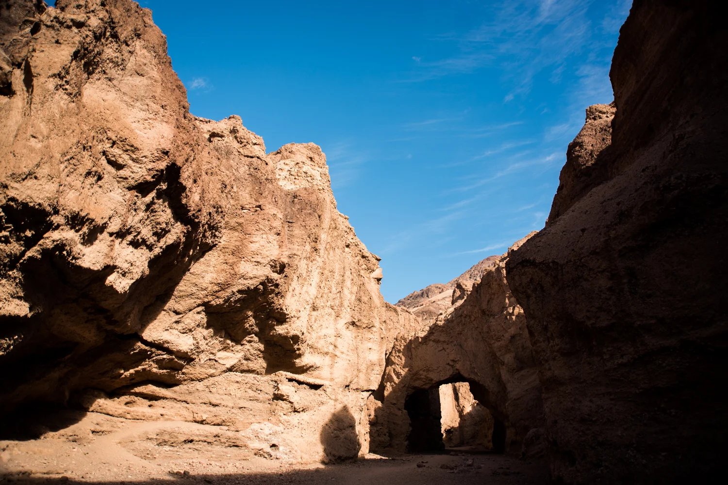
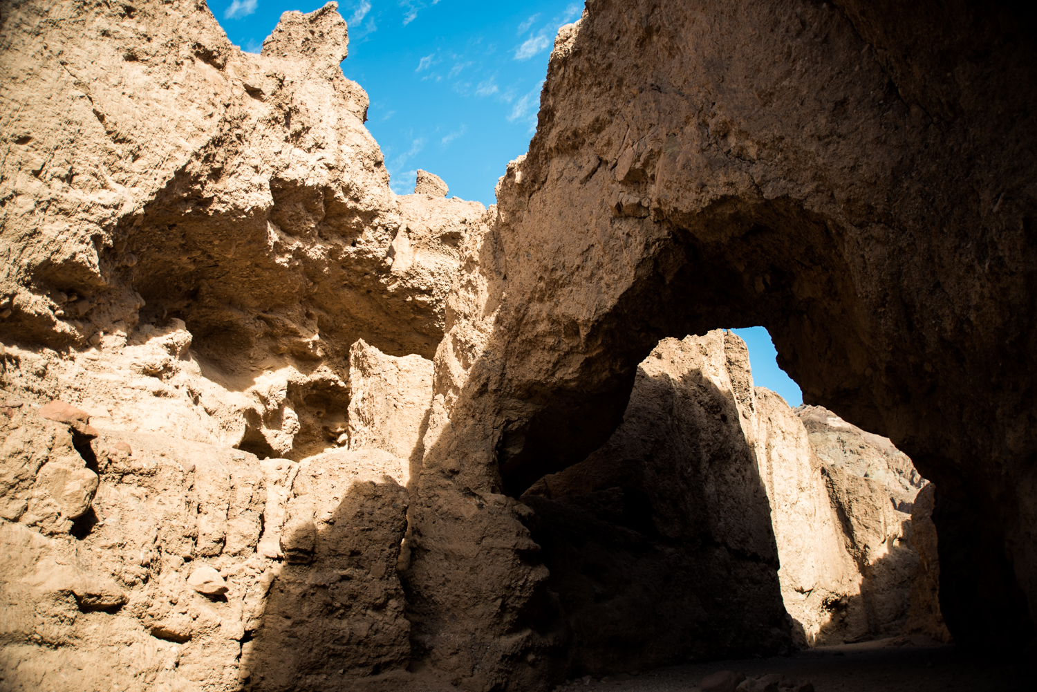
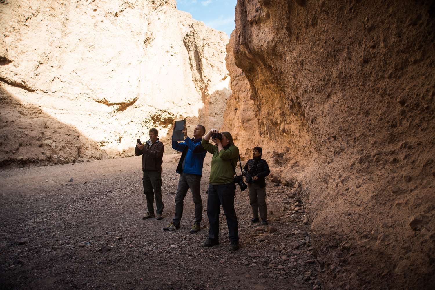
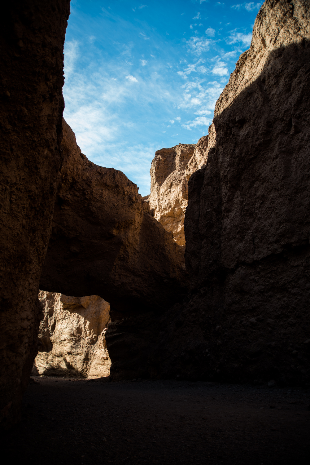
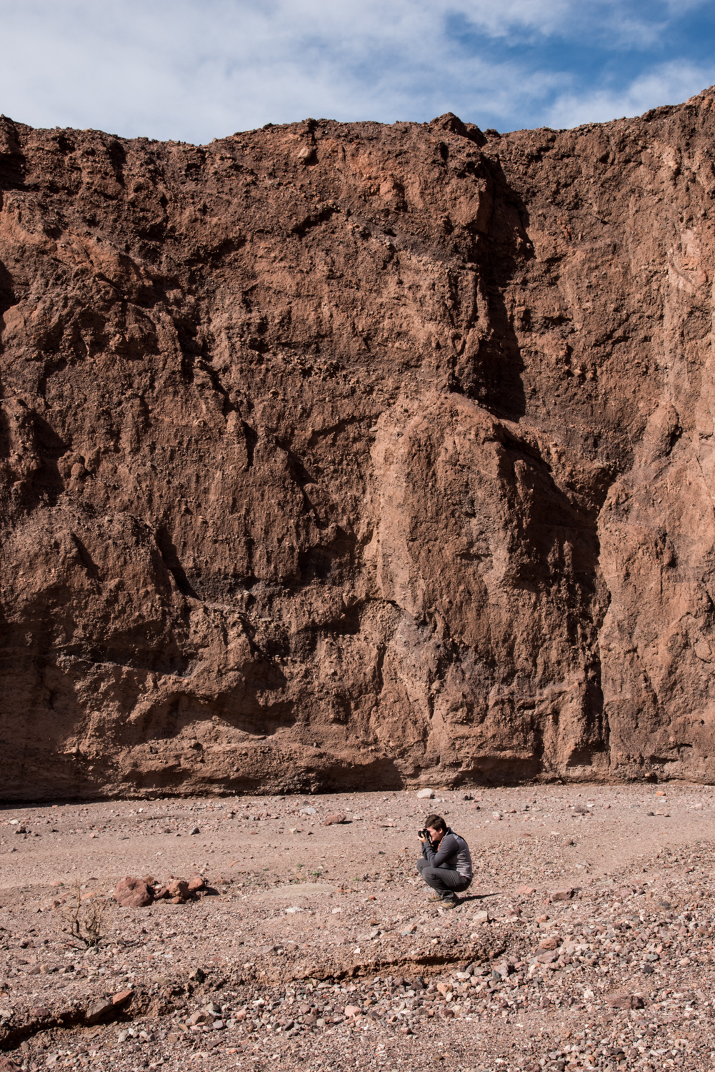
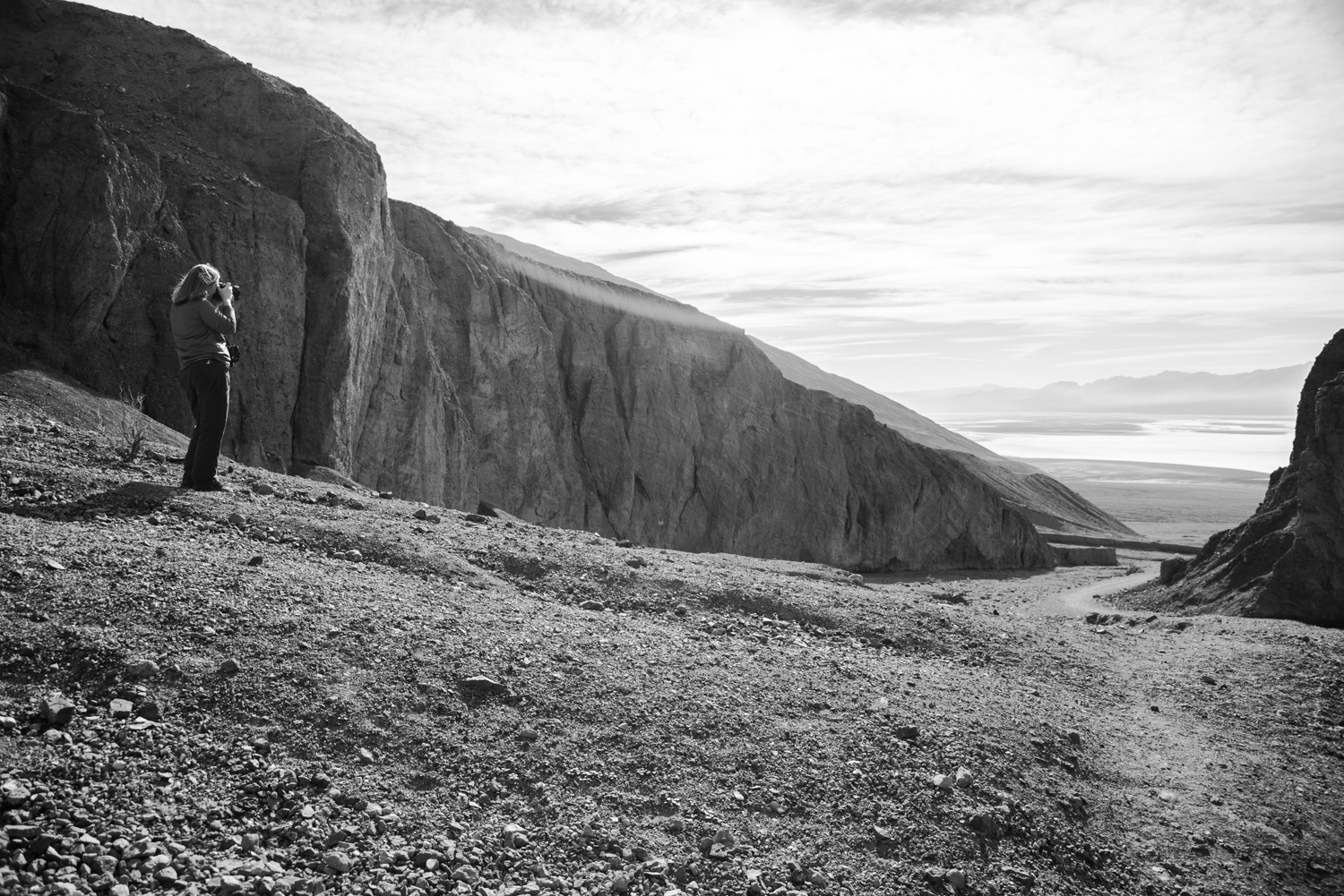
The hike itself is only about two miles round trip, following a canyon that gradually narrows before revealing the impressive natural bridge spanning overhead.
It's a short hike, but one that's definitely worth making time for.
Devil's Golf Course
From there we continued north again before turning toward Devil's Golf Course.
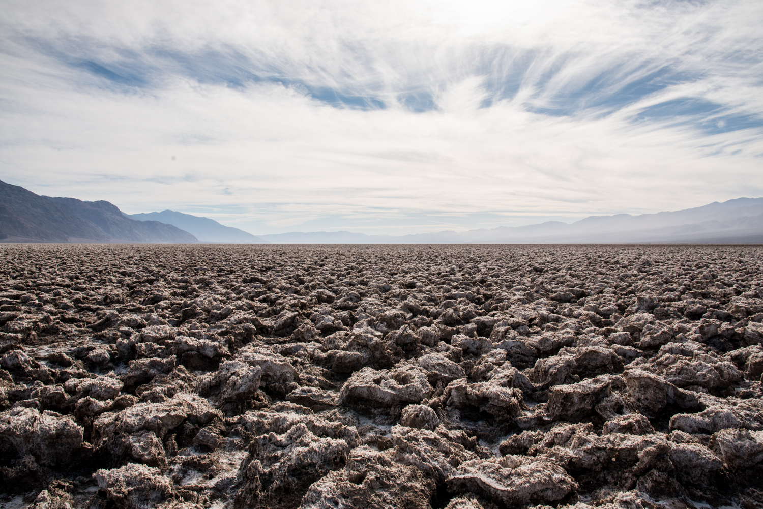
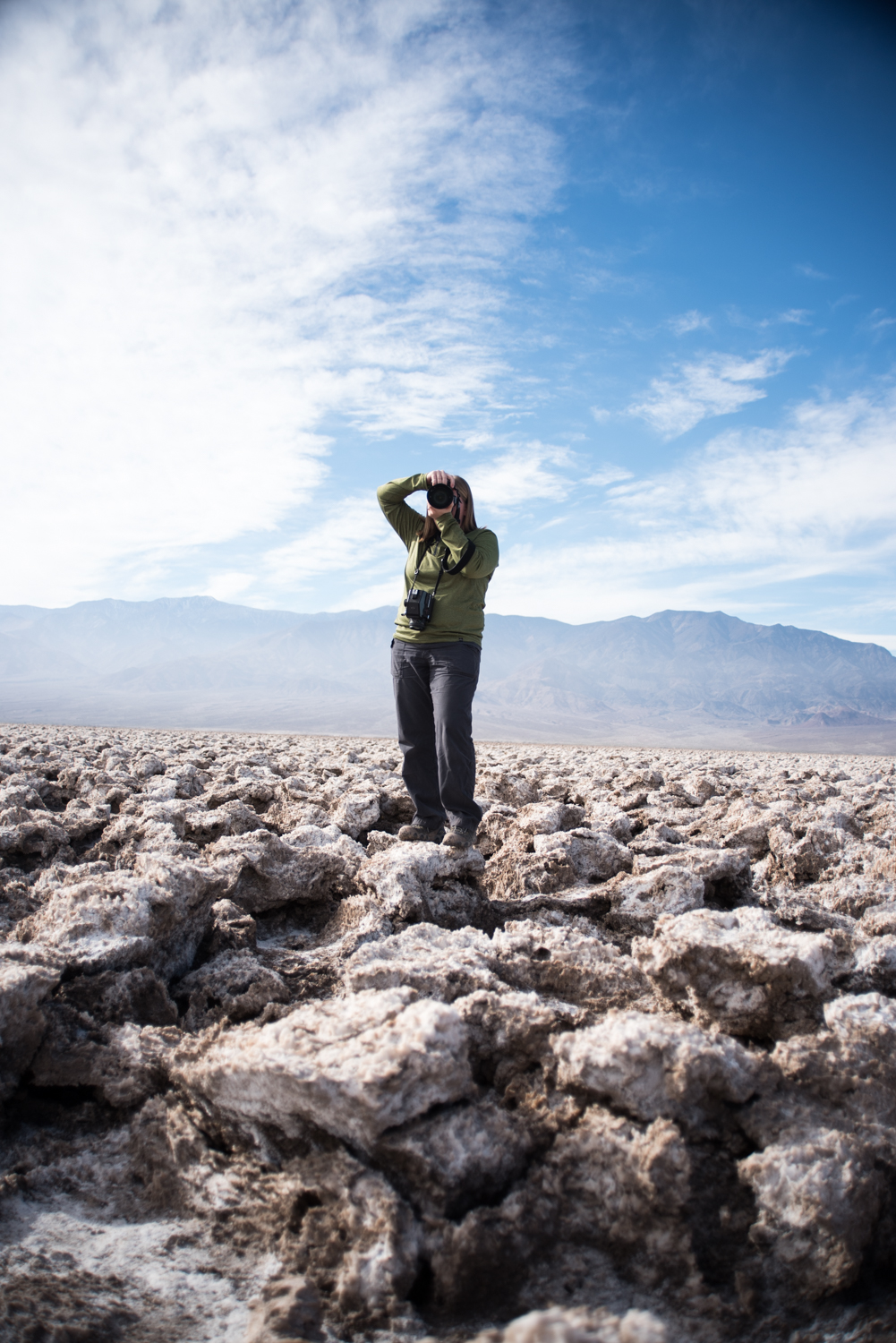
This quickly became one of my favorite stops of the entire day.
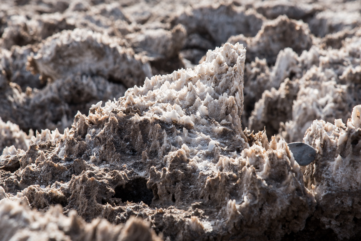
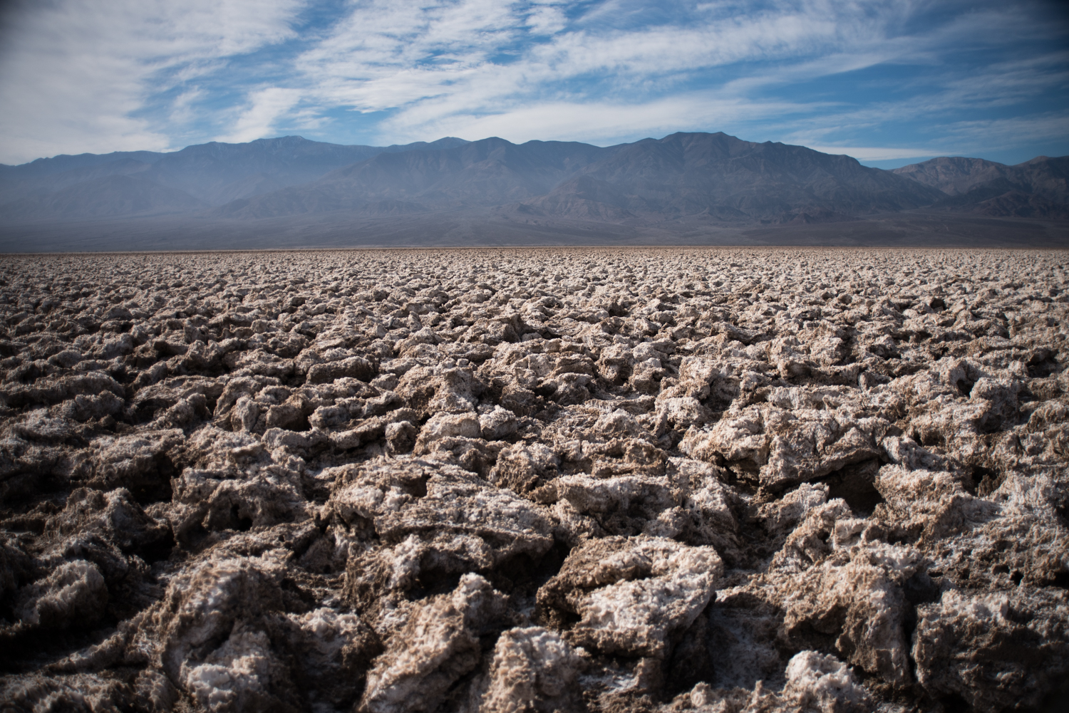
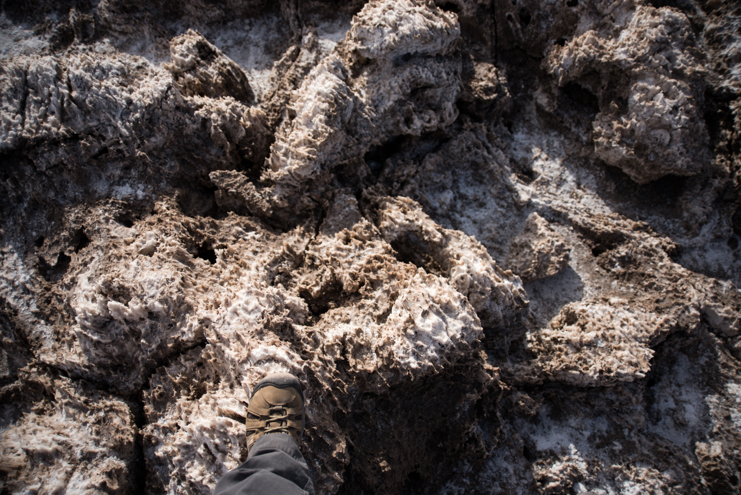
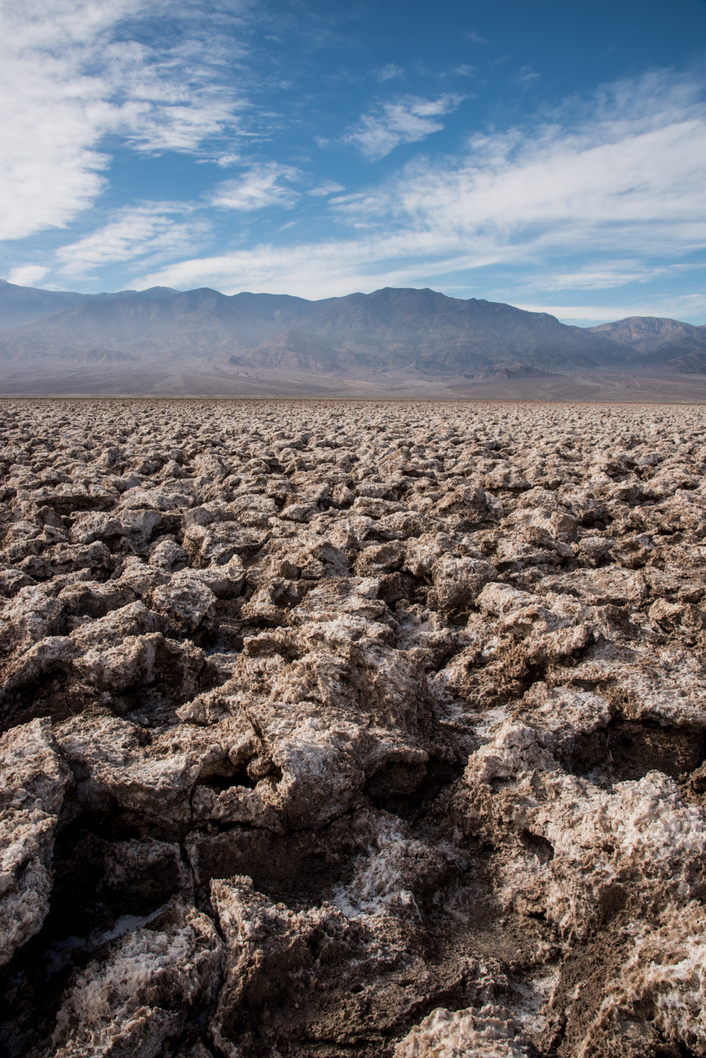
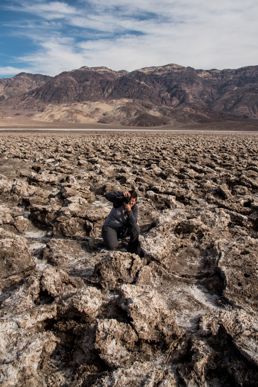
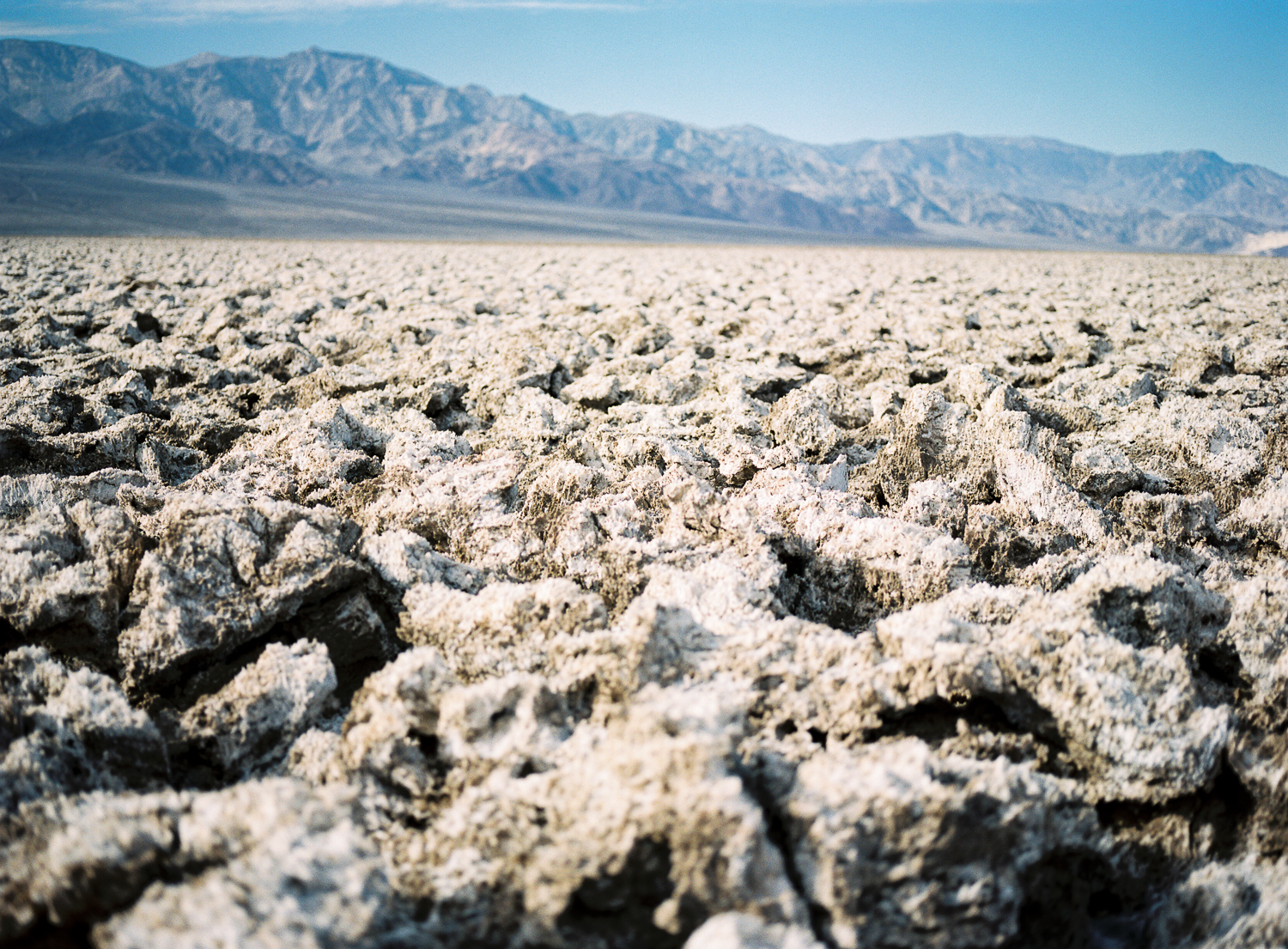
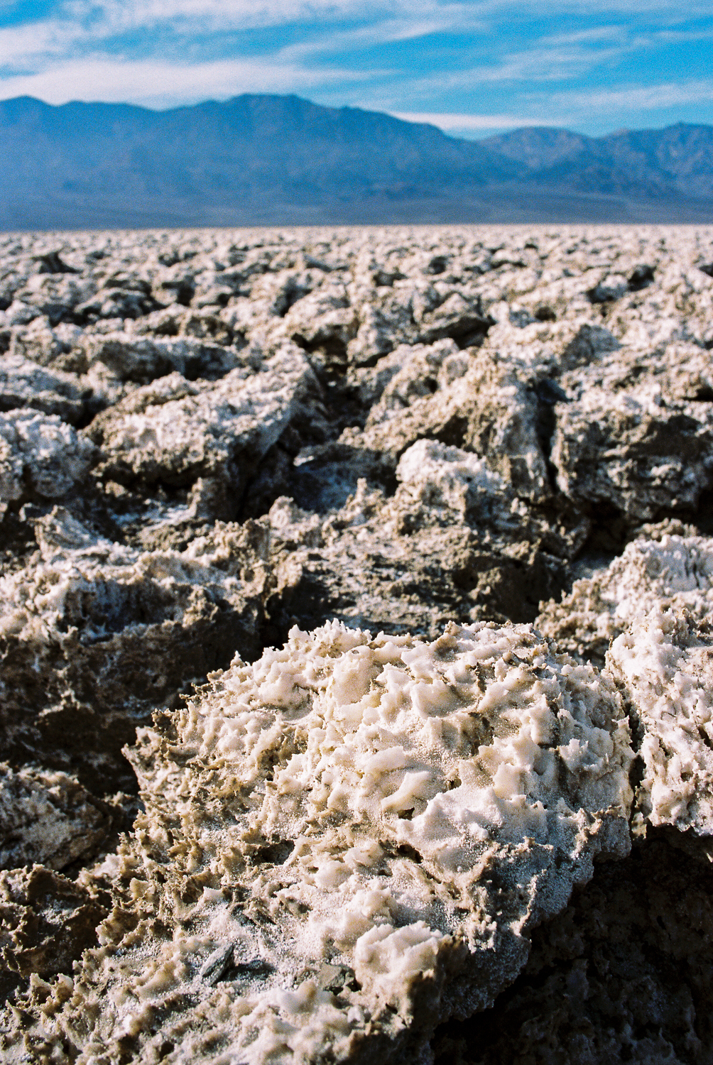
Like Badwater Basin, the landscape is made of salt, but here the surface has been sculpted into jagged, razor-sharp formations that seem almost impossible to walk across. The textures are incredible, especially when the sunlight catches the edges of the salt crystals.
If you plan to wander beyond the parking area, wear sturdy shoes. The salt formations are extremely sharp and unforgiving.
Artist's Drive
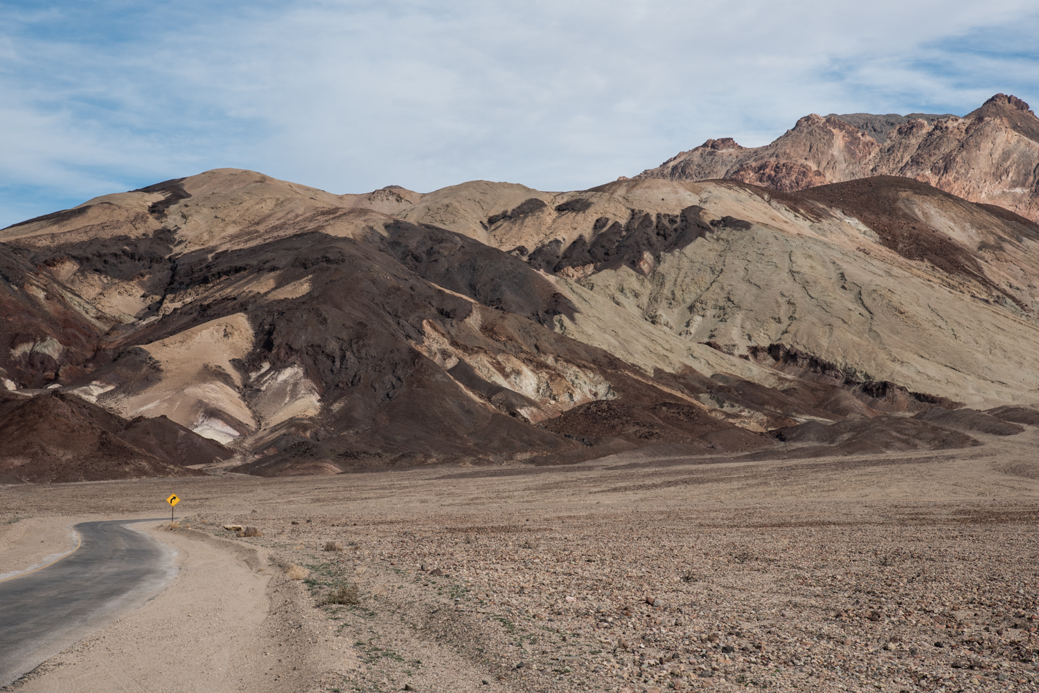
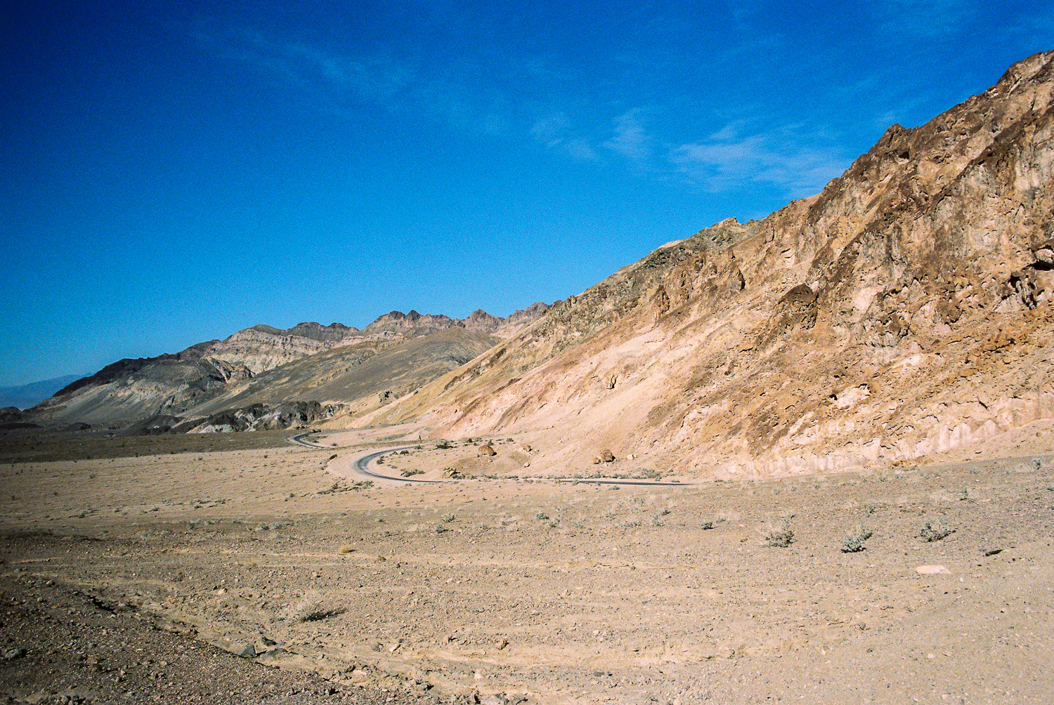
Our next stop was Artist's Drive, one of the most scenic roads in Death Valley National Park.
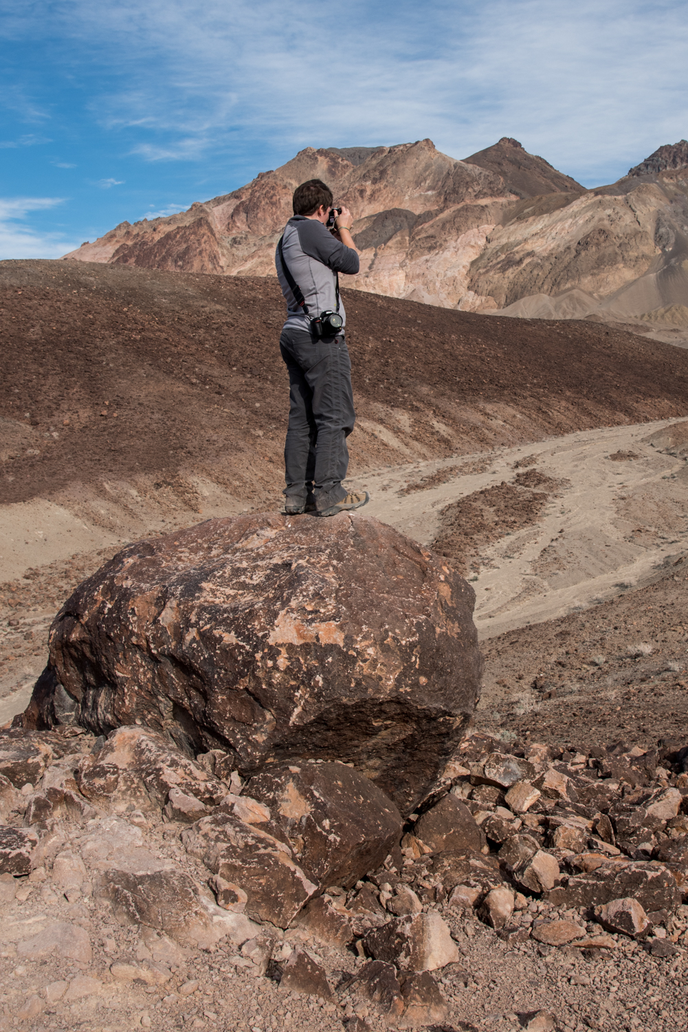
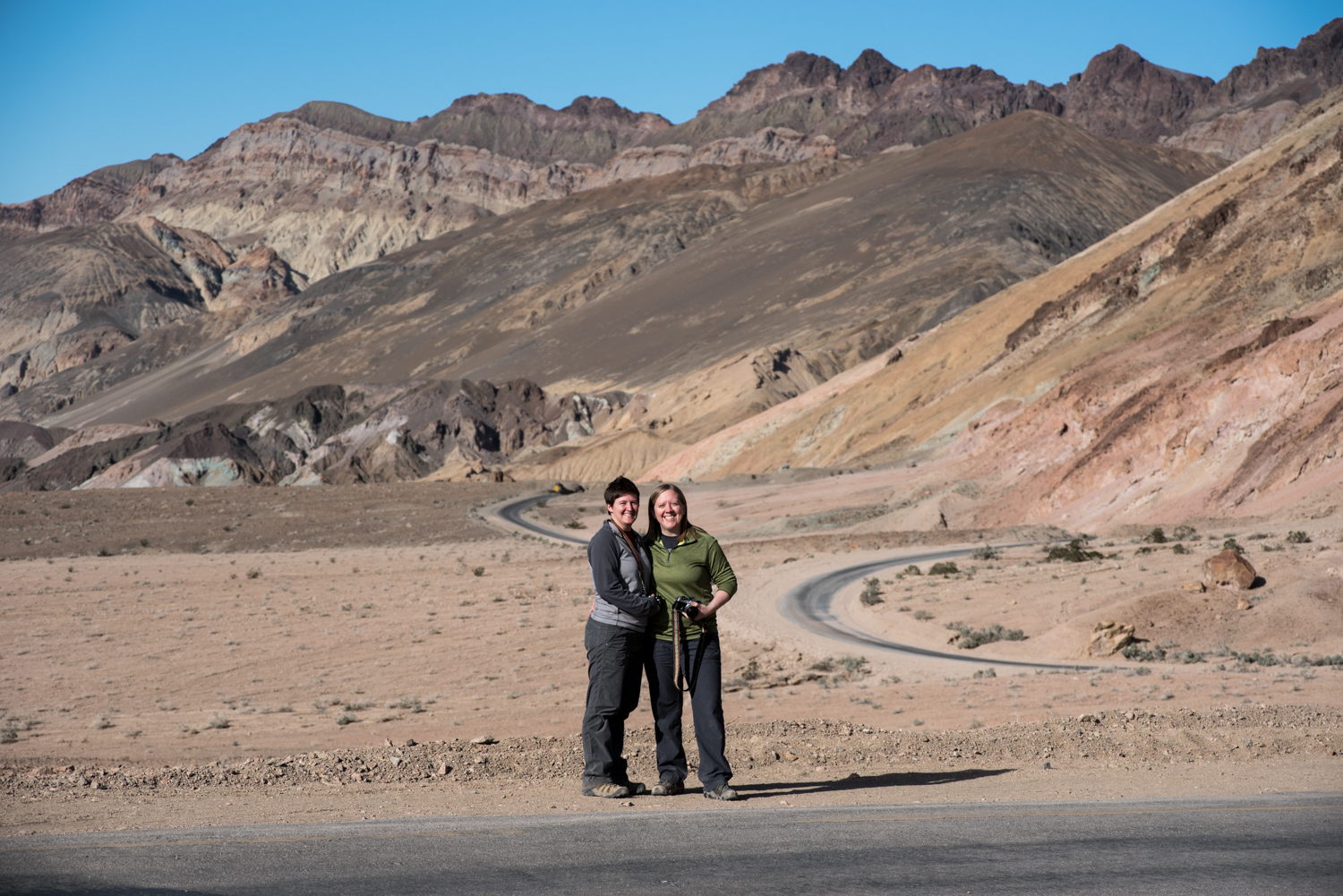
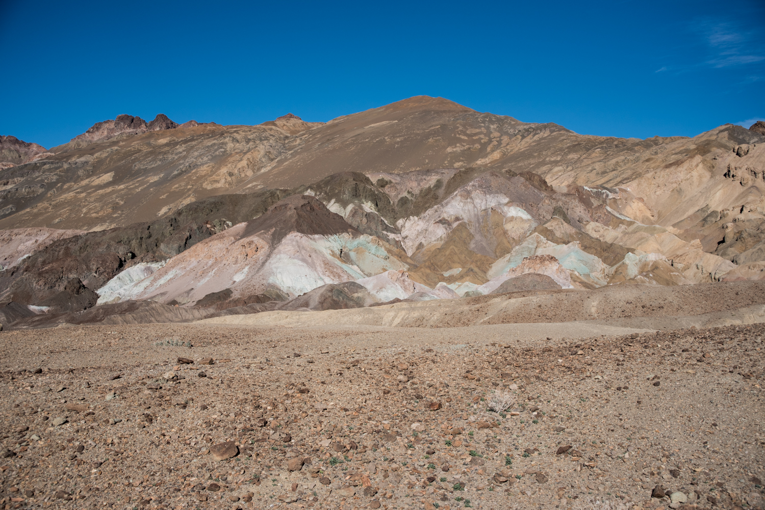
The one-way drive twists through colorful hills and narrow canyons before reaching Artist's Palette, where a parking area allows you to get out and explore.
Minerals in the volcanic rock have stained the hillsides with shades of green, pink, purple, yellow, and blue, creating one of the most colorful landscapes anywhere in the park.
Even if you're short on time, this scenic drive is absolutely worth adding to your itinerary.
Zabriskie Point
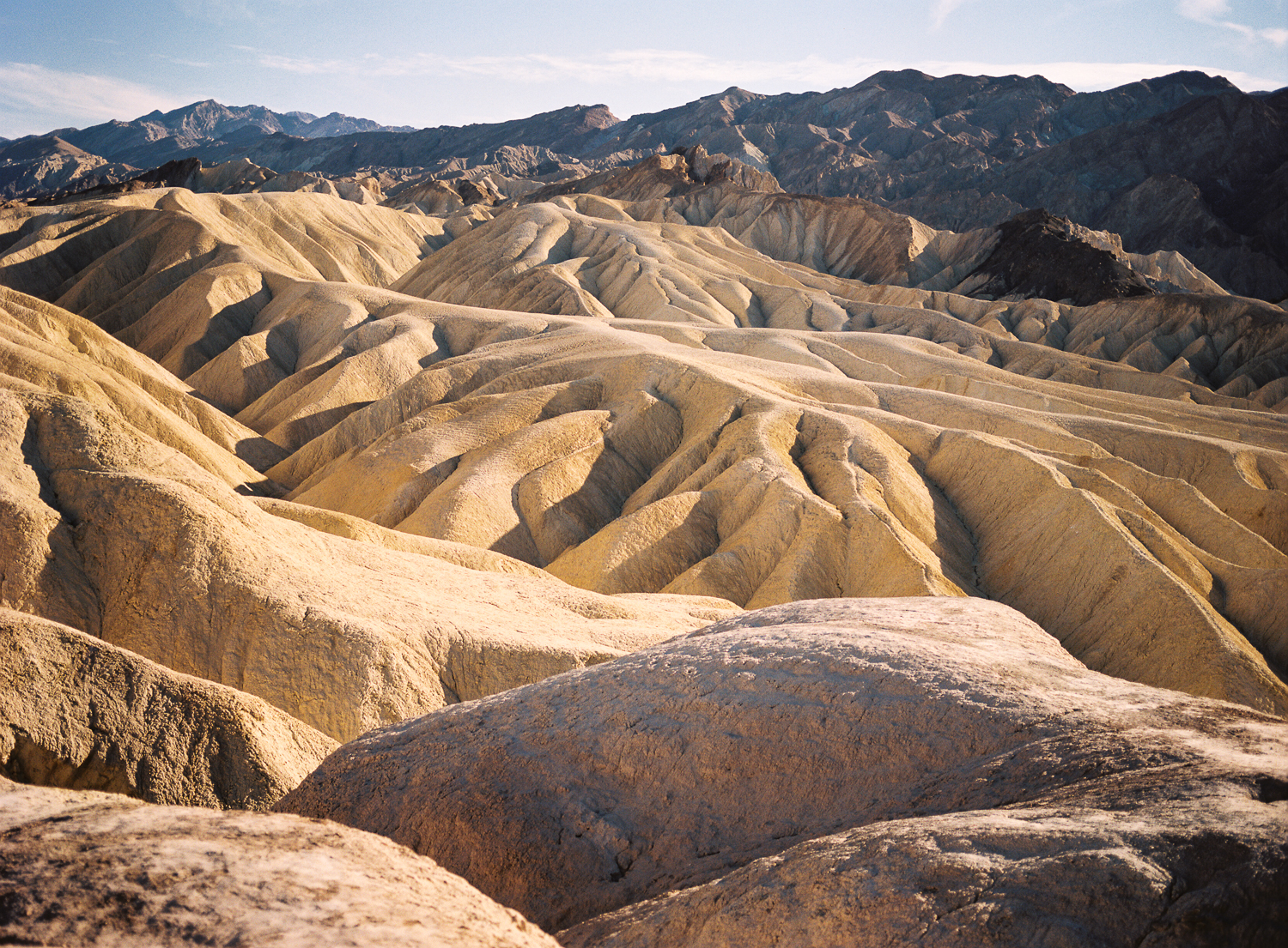
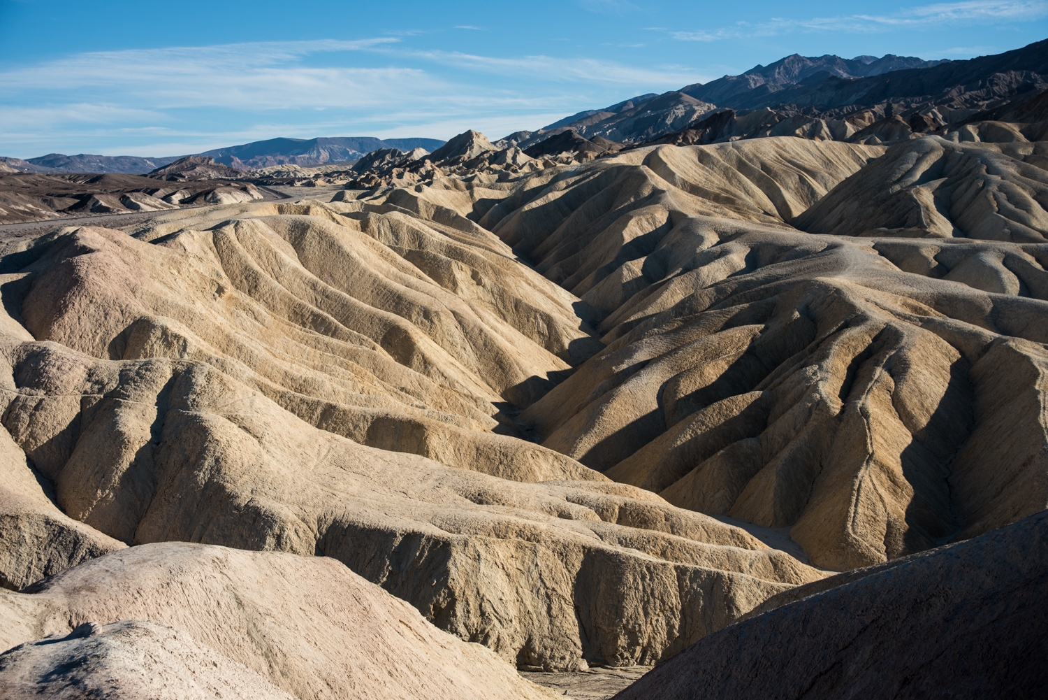
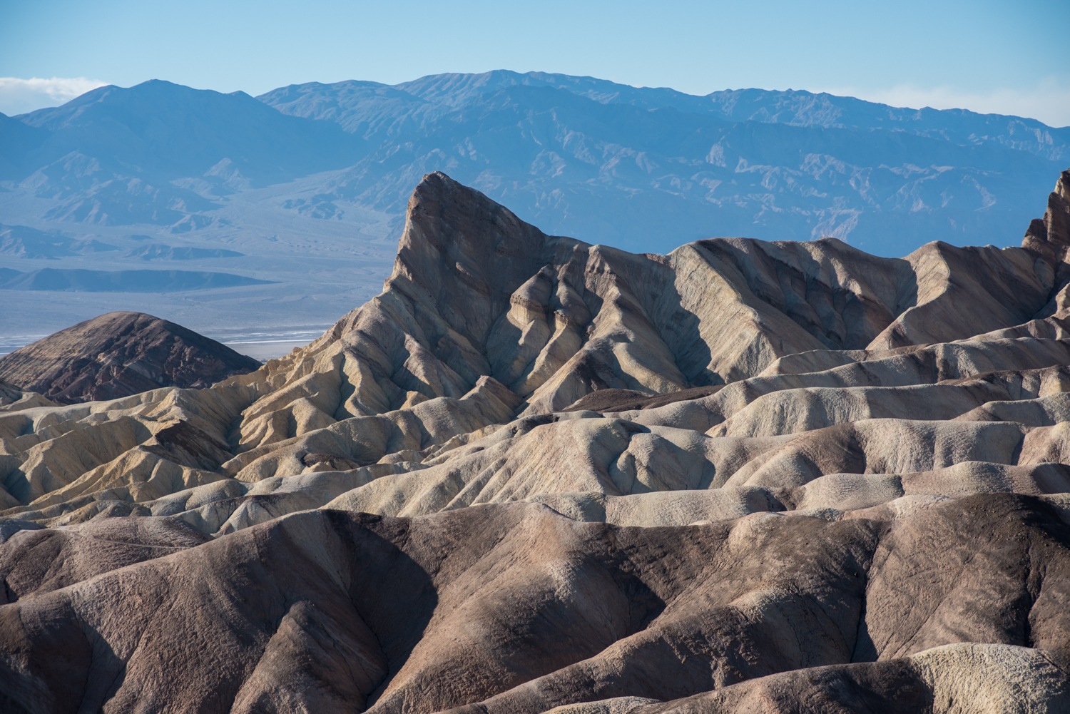
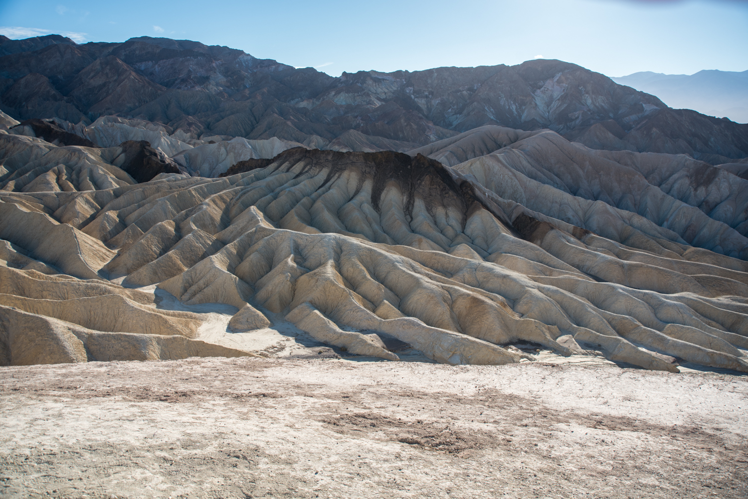
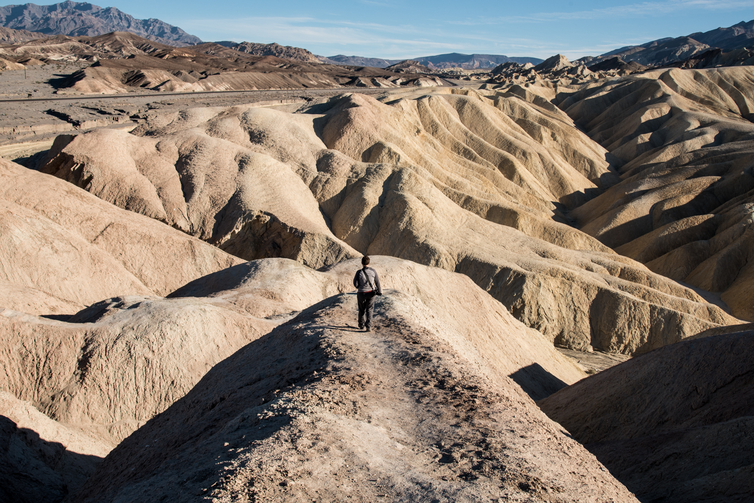
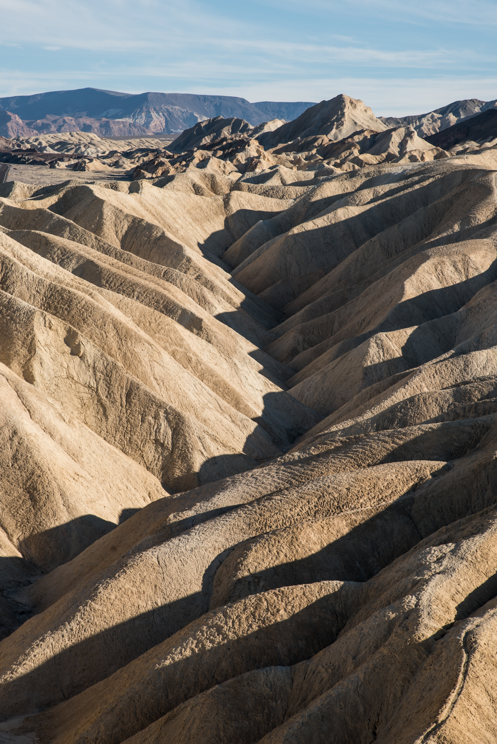
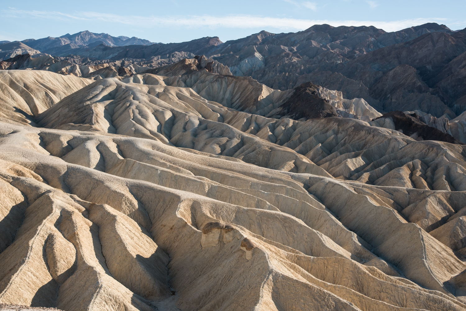
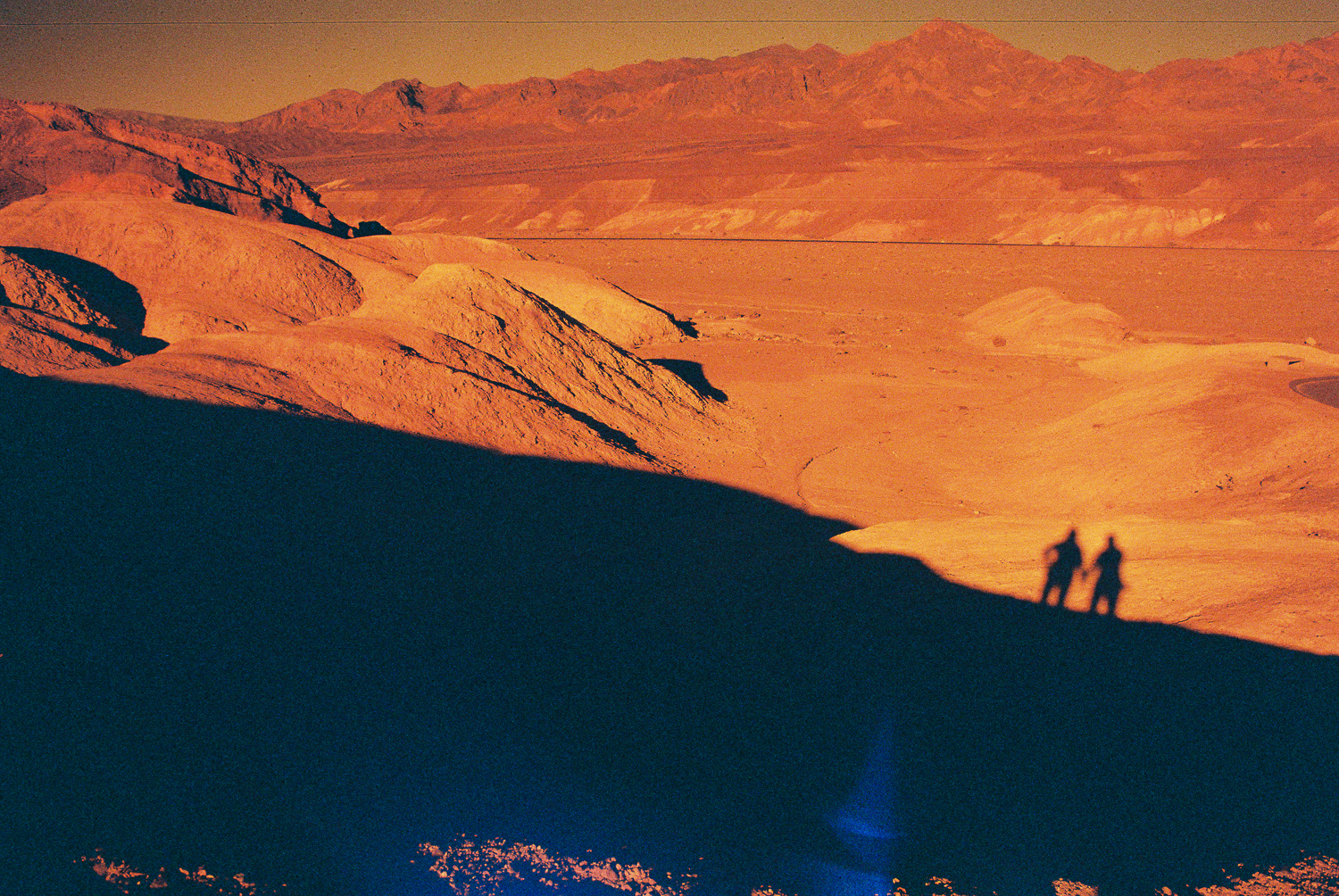
Our final stop of the day was Zabriskie Point.
By the time we arrived, we were already thinking about finding another campsite before the campgrounds filled for the evening, so we didn't spend nearly as much time here as we would have liked.
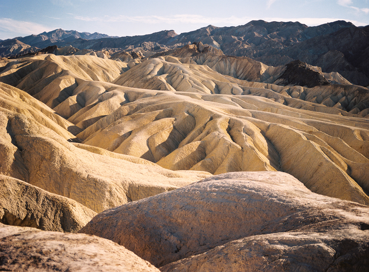
Looking back, it's one place I wish we had explored more thoroughly. The maze of golden badlands stretching out below the overlook practically invites you to continue hiking.
Death Valley is much larger than it first appears on a map. Every stop feels completely different from the last, and we quickly realized that two days would only scratch the surface.
Fortunately, we still had another day to explore.