Exploring Big Sur: Highlights On California’s Highway 1
Big Sur has been on my “places to visit” list for a long time. More specifically, I have wanted to see Bixby Creek Bridge for years. I plotted possible ways to reach it even when I lived much farther away in the Midwest, so this trip has been on my radar for quite a while.
We originally planned a long anniversary trip up the California coast in August, but our cat Zoe was injured shortly before we were supposed to leave. We stayed home with her and canceled the trip. We were heartbroken for our injured kitty, with the lost vacation adding another layer of disappointment.
Fast-forward to Christmastime. We had a few days off work and planned to relax close to home, with one overnight camping trip in Joshua Tree. At nine o’clock the night before we were supposed to leave, the forecast was calling for freezing desert temperatures. Kim jokingly said, “Hey, we could go to Big Sur.” We laughed, paused, and then said, “Why not?”
Our bags were rapidly repacked, the itinerary changed, and by the next morning we were heading north for a few days of exploring California’s Central Coast.
Driving Highway 1
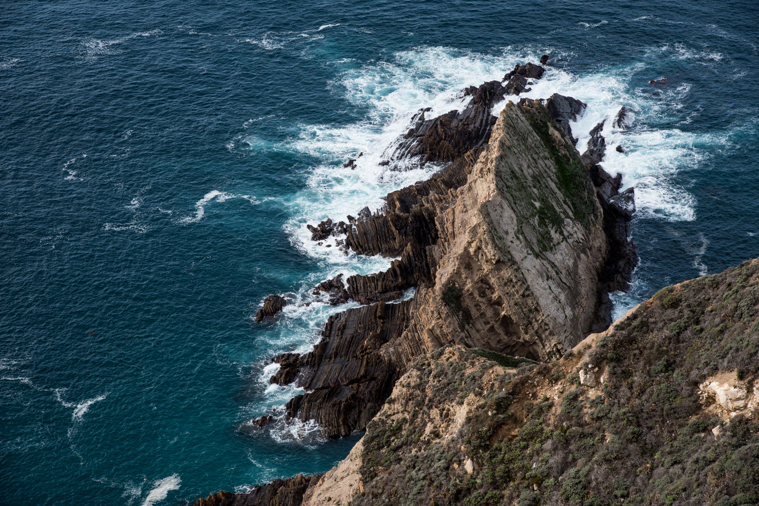
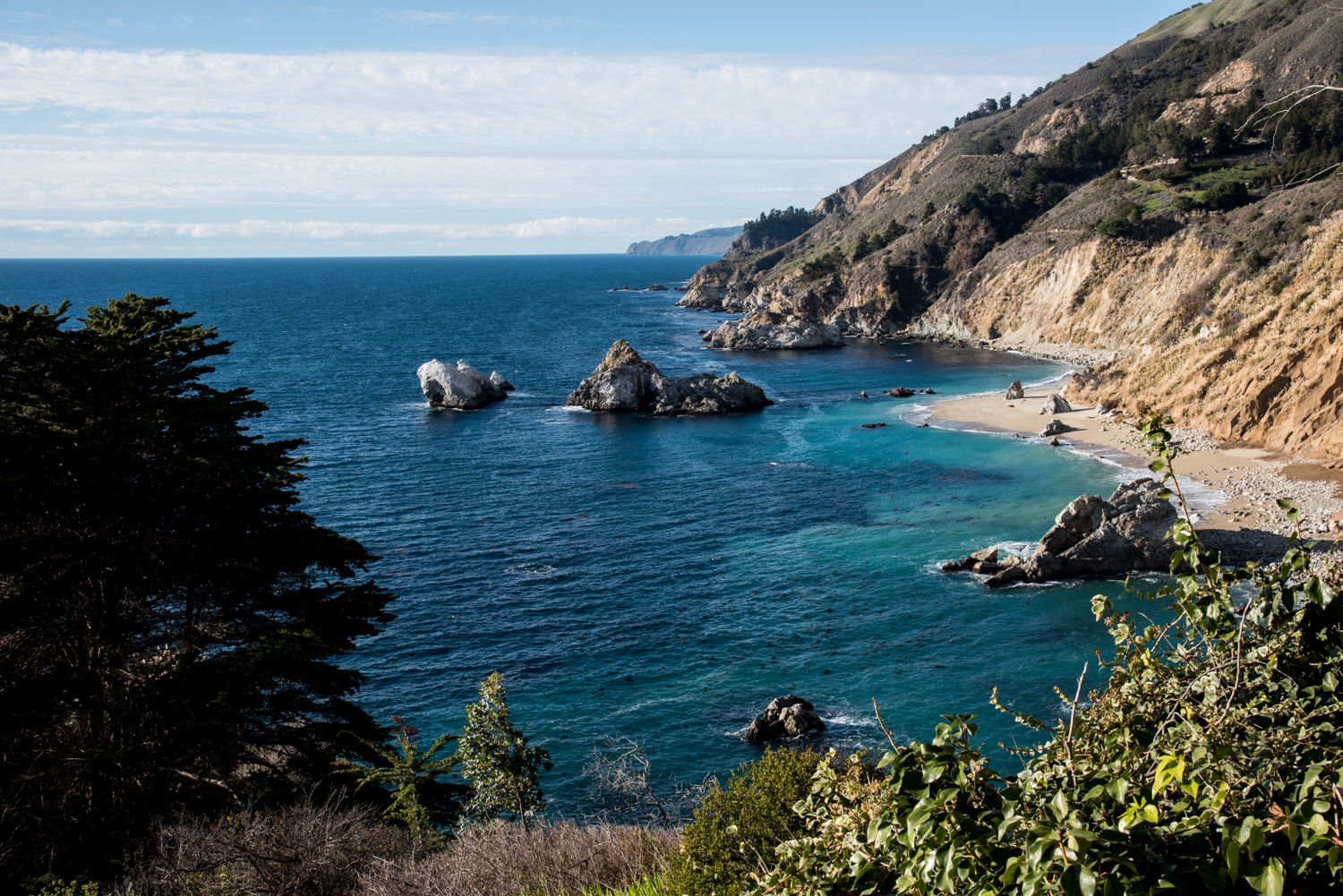
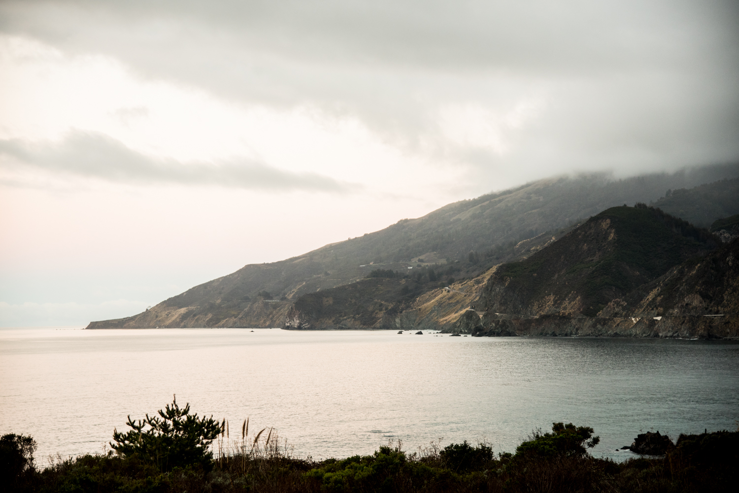
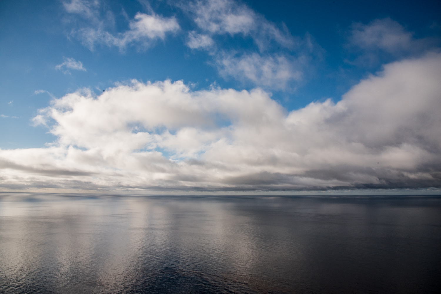
We traveled north along historic Highway 1. The road became narrower and more beautiful the farther we drove, following steep cliffs above the blue Pacific Ocean. There were numerous places to pull over, and we stopped often, as wandering photographers tend to do. Several of those stops were inspired by whales spouting offshore or lifting their fins above the water. The ocean was an almost unbelievable shade of blue. Around every bend, the landscape seemed to change, shifting between rocky coastline, rolling hills, open water, and dense forest.
We took a few small detours along the way, including one to catch a glimpse of Morro Rock. We also stopped to photograph cows grazing near the edge of the coast and pulled over more than once simply to stand quietly and take in the view.
Our main goal for the day was to reach Big Sur early enough to find a campsite. Most of the campgrounds accept reservations and can remain full for months, so planning the trip at the last minute meant we had no idea where we would sleep. We were prepared to hike into a campsite if necessary, but we were still hoping to find a place where we could park nearby and have a fire.
Finding a Campsite at Kirk Creek
Our first camping option was Plaskett Creek Campground, a large campground on the inland side of Highway 1. It was busy, and nearly every campsite that appeared suitable for a tent was already occupied. We had hoped to camp on the ocean side of the highway, so we continued north to try our luck at Kirk Creek Campground.
Kirk Creek appeared completely full when we arrived, but we stopped to speak with the camp host. Site 24 had unexpectedly become available, and we accepted it immediately!
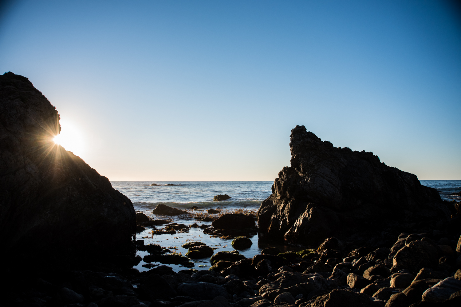
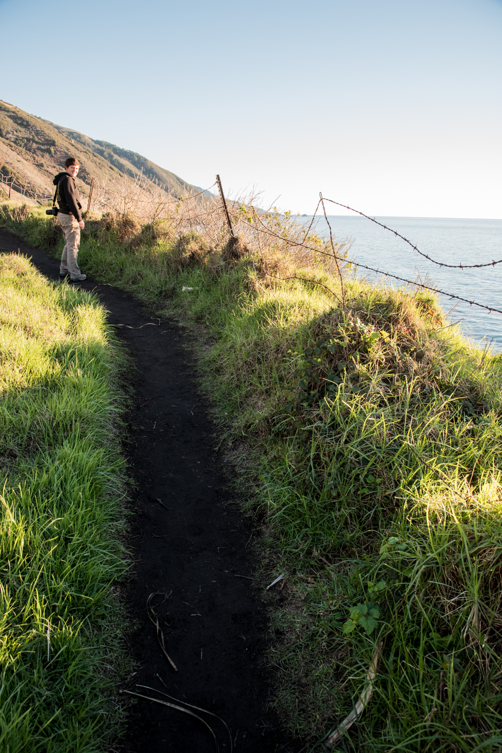
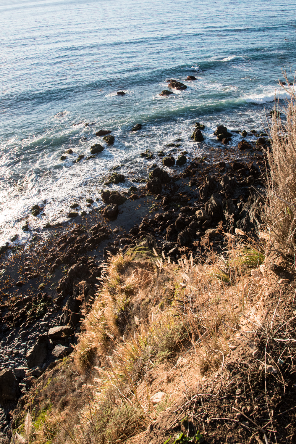
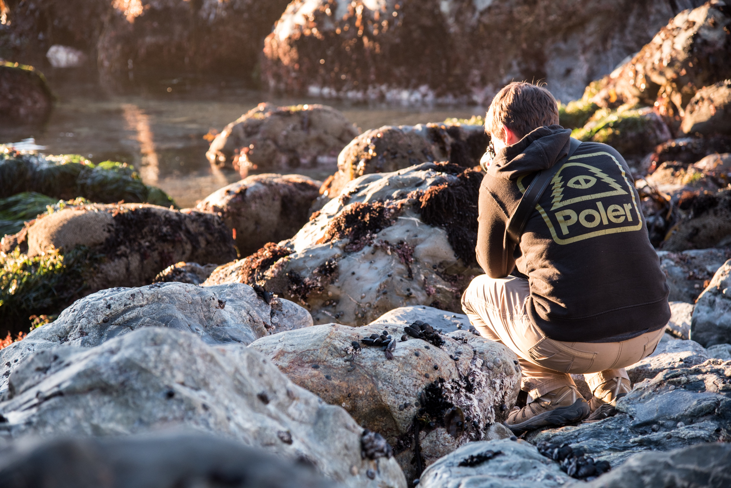
The campground sits on a bluff overlooking the Pacific. From our campsite, we could watch the ocean, listen to waves crashing below, and enjoy an unobstructed view of the sunset. After setting up camp, we grabbed our cameras and followed a trail leading down from the campground toward the water. The path wound through thick, overgrown greenery before reaching a rocky beach beneath the cliffs.
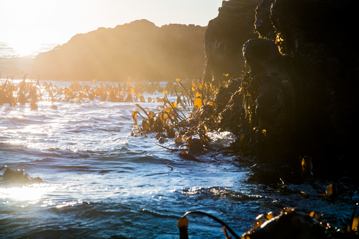
We spent the evening photographing waves, seaweed, and the setting sun from the slippery rocks. The climb back up was steep enough to warm us quickly, but we reached the top just in time to watch the sun disappear over the horizon.
Unfortunately, we did not realize that much of the greenery surrounding the trail and campground was poison oak. Kim paid for that mistake with a miserable rash that lasted for several weeks. Be warned, if you visit!
A Morning Along the Coast
We could only keep Site 24 for one night, so we packed everything the next morning and once again asked the camp host for help. Another campsite, Site 20, had become available for our second night! With our sleeping arrangements secured in a new spot, we headed north on Highway 1. The ocean was calmer that morning, making the whales easier to see. We stopped several times to watch them offshore before continuing toward the place I had been waiting years to visit.
Bixby Creek Bridge
We finally arrived at Bixby Creek Bridge. A large crowd had gathered around the small roadside parking area, but a dirt road continued up the hill above the highway. We followed it away from the crowd and found a quieter view of the bridge with the ocean stretching behind it.
Seeing the bridge in person felt different from simply recognizing a famous landmark. Its graceful concrete arch spans the deep canyon below, surrounded by cliffs, hills, and ocean. Standing there, I found myself thinking about the effort it must have taken to build such a structure into this rugged coastline.
After spending time photographing the bridge from several angles, we headed south again. We stopped at Big Sur Bakery for snacks and a few souvenirs. There was also a small gas station nearby, although fuel was once again much more expensive than it had been farther south.
McWay Falls
Our next stop was Julia Pfeiffer Burns State Park to see McWay Falls. We found free parking along Highway 1 about a quarter-mile from the entrance and walked back toward the park. The trail to the overlook was short, clearly marked, and easy to follow. From the viewpoint, we could see McWay Falls dropping into a secluded cove below. The water was an especially vivid blue, and the untouched beach looked almost unreal beneath the surrounding cliffs. We stayed at the overlook for a while, photographing the waterfall and watching the waves move into the cove.
A Windy Night at Kirk Creek
We continued exploring small overlooks and roadside pullouts as we made our way back to Kirk Creek Campground.
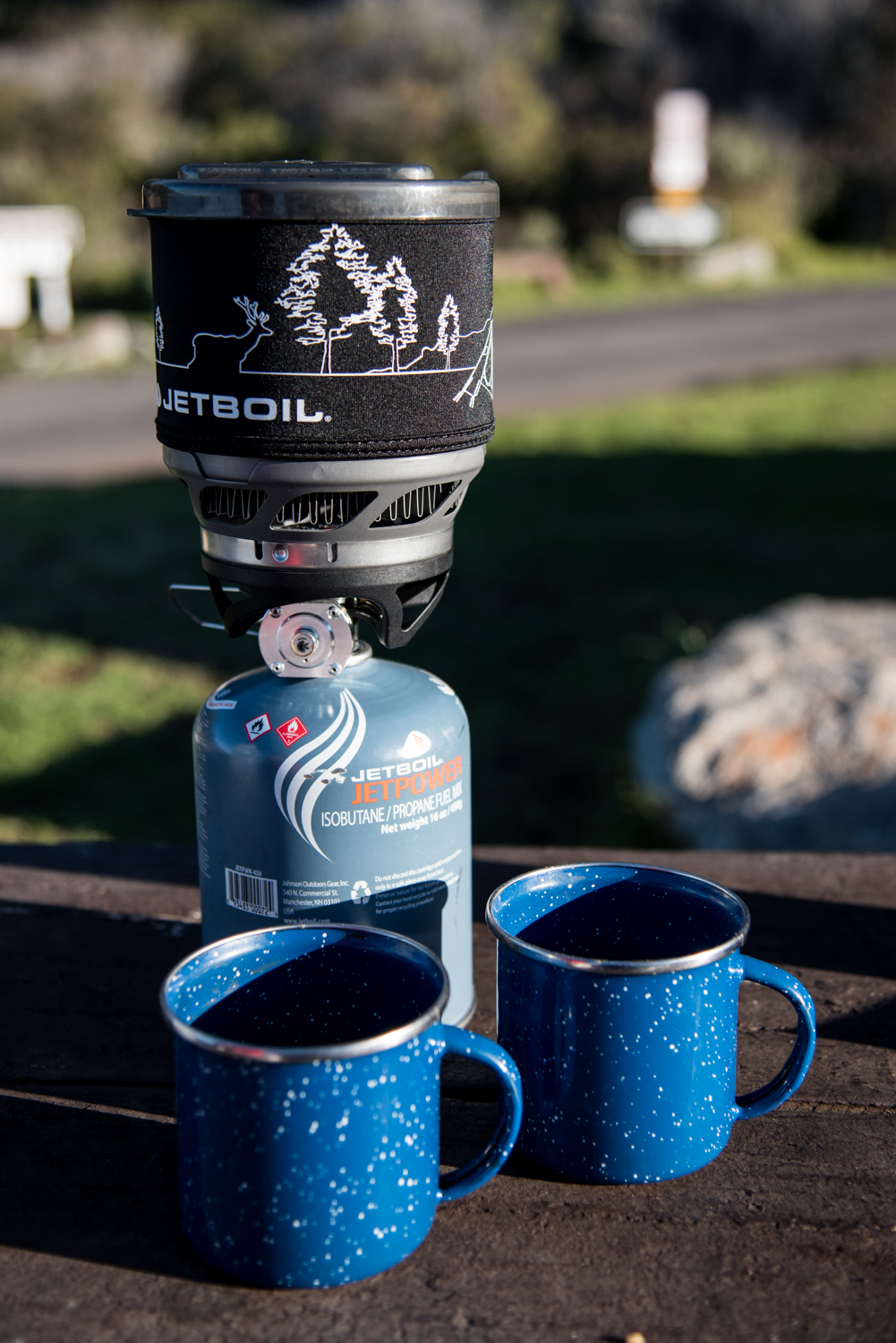
At Site 20, we rebuilt camp and started a fire using a much more reasonably priced $8 bundle of wood purchased at the campground. The wind became increasingly strong as the evening went on. With the temperature dropping and gusts moving across the exposed bluff, we huddled close to the fire for a while before retreating to the tent earlier than planned.
Sometime during the night, a heavy rainstorm moved over the coast. We woke to the loud sound of rain against the tent, mixed with the wind and the constant sound of the ocean below. Somehow, we managed to sleep through most of it. Even better, our Marmot tent kept us dry.
By morning, the storm had moved away. We crawled out to find a completely soaked campsite and campground. Packing took longer than usual because everything outside the tent was wet, but there was also something exciting about it. It was our first rainstorm while camping, and we had made it through warm and dry.
Elephant Seals at San Simeon
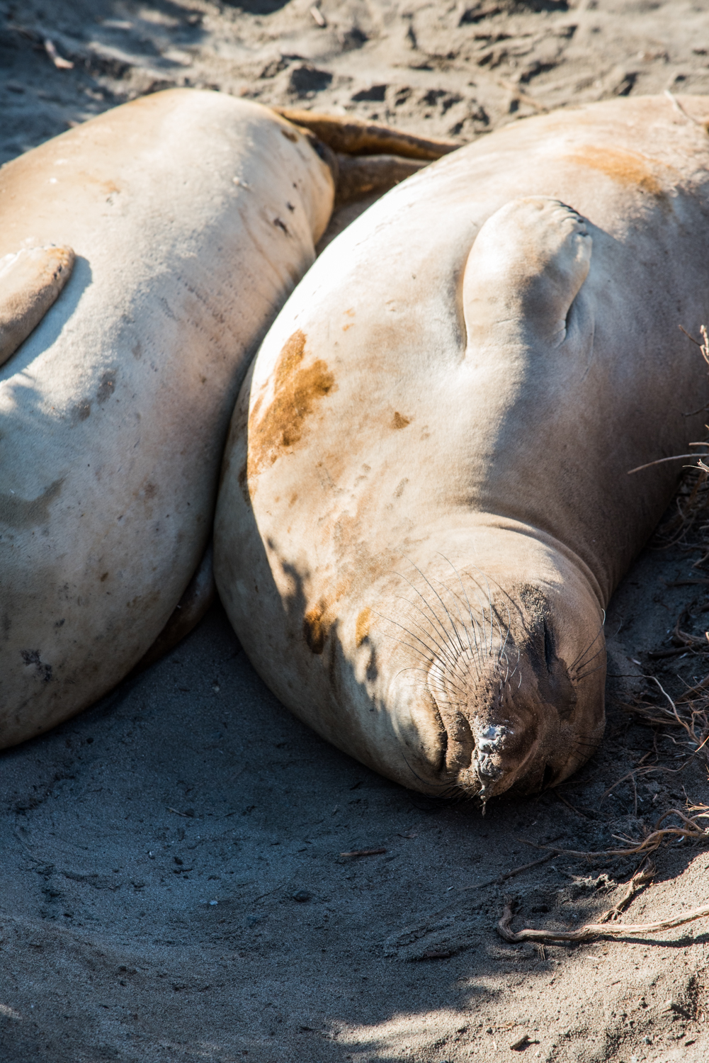
Eventually, it was time to begin the drive home. We stopped near San Simeon to see the northern elephant seals gathered along the coast. The beaches were covered with enormous seals resting close together, occasionally shifting positions or raising their heads before settling back into the sand.
Depending on the season, visitors may see some dramatic interactions, but most of the seals we watched appeared content to nap beside one another. They were fascinating animals to observe and photograph, although they were also impressively smelly.
More of the Central Coast to Explore
California’s Central Coast has so much to see that even several days barely felt like enough. We drove past plenty of places we would have liked to explore more thoroughly, but that only gave us more reasons to return!
Cameras: Mamiya M645 1000S and Nikon D750
Film: Kodak Portra 400











Editor’s note: Access conditions in Big Sur can change because of storms, road repairs, and trail work. Check the official park and Caltrans websites before visiting.